Zaïo night lights from space
Night Light of Zaïo (Oriental) from space (Morocco) Src. Average luminocity for 10x10km area is 10.5385% and for 50x50km: 5.1902%.
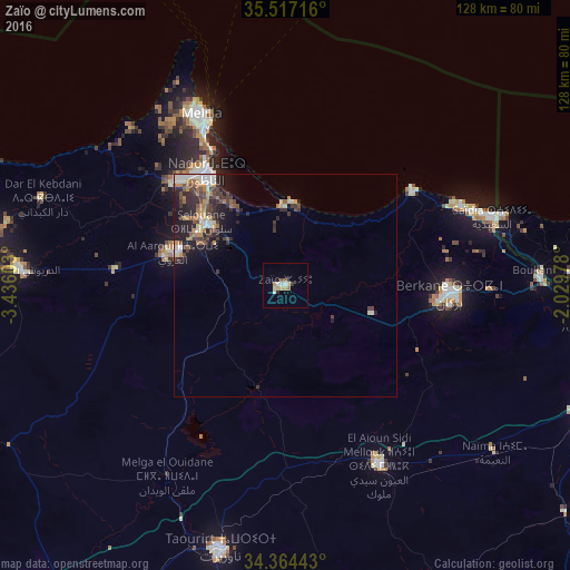
Analysis of Zaïo night lights 2016
Square area 10x10 km:
 1.28%
1.28%90-99
1.28%80-89
3.3%70-79
1.47%60-69
1.47%50-59
0.73%40-49
0%30-39
0.92%20-29
0.55%10-19
0.73%0-9
88.28%Square area 50x50 km:
0.57%90-99
0.81%80-89
0.45%70-79
0.66%60-69
0.99%50-59
0.47%40-49
1.06%30-39
1.15%20-29
1.86%10-19
2.8%0-9
89.19%Clear (daylight) street map image can be seen on geolist.org.
Map coordinates:
35° 31' 1.8" North, 3° 26' 9.7" West
34° 56' 34.2" North, 2° 43' 58.4" West
34° 21' 51.9" North, 2° 1' 47.2" West
Some cities around Zaïo sort by population:
• Nador
31 km =19.3 mi,  323°
323°
• Taourirt
61.4 km =38.2 mi,  194°
194°
• Berkane
37.7 km =23.4 mi,  93°
93°
• Melilla, ES
43.3 km =26.9 mi,  334°
334°
• Al Aaroui
26.3 km =16.3 mi,  286°
286°
• El Aïoun
45 km =28 mi,  152°
152°
• Ahfir
57.7 km =35.9 mi, 88°
• Midar
72.9 km =45.3 mi,  269°
269°
2526435 (p: 30,008)
Sources (retrieved 2019-11-25):
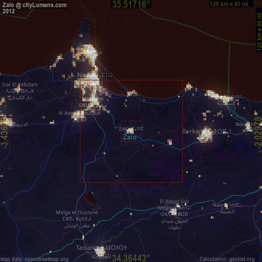
» Earth at Night: Flat Maps 2012, 2016