El Aïoun night lights from space
Night Light of El Aïoun (Oriental) from space (Morocco) Src. Average luminocity for 10x10km area is 15.1224% and for 50x50km: 0.7069%.
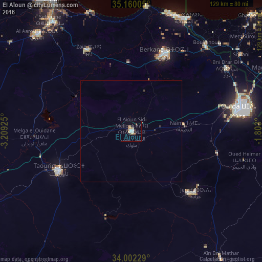
Analysis of El Aïoun night lights 2016
Square area 10x10 km:
 2.1%
2.1%90-99
2.8%80-89
2.1%70-79
2.8%60-69
1.4%50-59
1.4%40-49
0.7%30-39
2.1%20-29
0%10-19
1.75%0-9
82.87%Square area 50x50 km:
0.08%90-99
0.14%80-89
0.08%70-79
0.11%60-69
0.06%50-59
0.06%40-49
0.04%30-39
0.15%20-29
0.03%10-19
0.07%0-9
99.17%Clear (daylight) street map image can be seen on geolist.org.
Map coordinates:
35° 9' 36.2" North, 3° 12' 33.3" West
34° 34' 59.5" North, 2° 30' 22" West
34° 0' 8.2" North, 1° 48' 10.8" West
Some cities around El Aïoun sort by population:
• Oujda-Angad
55.7 km =34.6 mi,  78°
78°
• Nador
75.8 km =47.1 mi,  329°
329°
• Taourirt
40.8 km =25.4 mi,  241°
241°
• Berkane
41.1 km =25.5 mi,  24°
24°
• Jerada
43.9 km =27.3 mi,  133°
133°
• Al Aaroui
66.1 km =41.1 mi,  315°
315°
• Zaïo
45 km =28 mi, 332°
• Ahfir
55.4 km =34.4 mi,  41°
41°
2550806 (p: 35,196)
Sources (retrieved 2019-11-25):
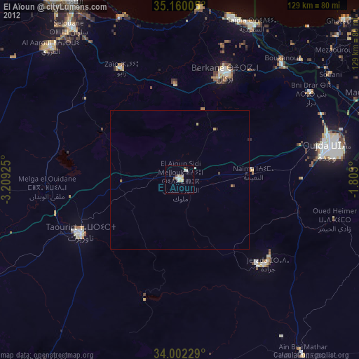
» Earth at Night: Flat Maps 2012, 2016