Tahla night lights from space
Night Light of Tahla (Fès-Meknès) from space (Morocco) Src. Average luminocity for 10x10km area is 8.6503% and for 50x50km: 1.4932%.
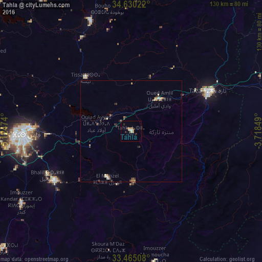
Analysis of Tahla night lights 2016
Square area 10x10 km:
 0.7%
0.7%90-99
1.4%80-89
0.17%70-79
2.62%60-69
1.57%50-59
0.7%40-49
0.7%30-39
2.1%20-29
0.7%10-19
0%0-9
89.34%Square area 50x50 km:
0.09%90-99
0.16%80-89
0.21%70-79
0.22%60-69
0.31%50-59
0.13%40-49
0.26%30-39
0.43%20-29
0.27%10-19
0.11%0-9
97.82%Clear (daylight) street map image can be seen on geolist.org.
Map coordinates:
34° 37' 48.8" North, 5° 7' 29.1" West
34° 2' 58.7" North, 4° 25' 17.8" West
33° 27' 54.3" North, 3° 43' 6.6" West
Some cities around Tahla sort by population:
• Fès
53.3 km =33.1 mi,  268°
268°
• Fès al Bali
49.2 km =30.6 mi, 272°
• Taza
41.9 km =26 mi,  64°
64°
• Ifrane
86.2 km =53.6 mi,  227°
227°
• Sefrou
44.6 km =27.7 mi,  237°
237°
• Taounate
57.7 km =35.9 mi,  339°
339°
• El Hajeb
96.4 km =59.9 mi,  245°
245°
• Targuist
99.2 km =61.6 mi,  5°
5°
2531480 (p: 25,761)
Sources (retrieved 2019-11-25):
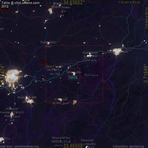
» Earth at Night: Flat Maps 2012, 2016