Taza night lights from space
Night Light of Taza (Fès-Meknès) from space (Morocco) Src. Average luminocity for 10x10km area is 34.5275% and for 50x50km: 2.061%.
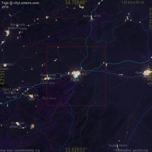
Analysis of Taza night lights 2016
Square area 10x10 km:
 7.69%
7.69%90-99
8.24%80-89
4.76%70-79
3.11%60-69
4.76%50-59
1.47%40-49
0.55%30-39
2.93%20-29
3.66%10-19
37.18%0-9
25.64%Square area 50x50 km:
0.32%90-99
0.4%80-89
0.35%70-79
0.16%60-69
0.27%50-59
0.06%40-49
0.09%30-39
0.2%20-29
0.28%10-19
2.06%0-9
95.81%Clear (daylight) street map image can be seen on geolist.org.
Map coordinates:
34° 47' 22.1" North, 4° 42' 47.2" West
34° 12' 36" North, 4° 0' 36" West
33° 37' 35.5" North, 3° 18' 24.7" West
Some cities around Taza sort by population:
• Fès
93.3 km =58 mi,  257°
257°
• Fès al Bali
88.3 km =54.9 mi, 259°
• Sefrou
86.3 km =53.6 mi,  240°
240°
• Guercif
60.4 km =37.5 mi,  88°
88°
• Taounate
68.3 km =42.4 mi,  302°
302°
• Tahla
41.9 km =26 mi, 244°
• Targuist
85.7 km =53.3 mi,  340°
340°
• Midar
92.2 km =57.3 mi,  28°
28°
2529317 (p: 141,890)
Sources (retrieved 2019-11-25):
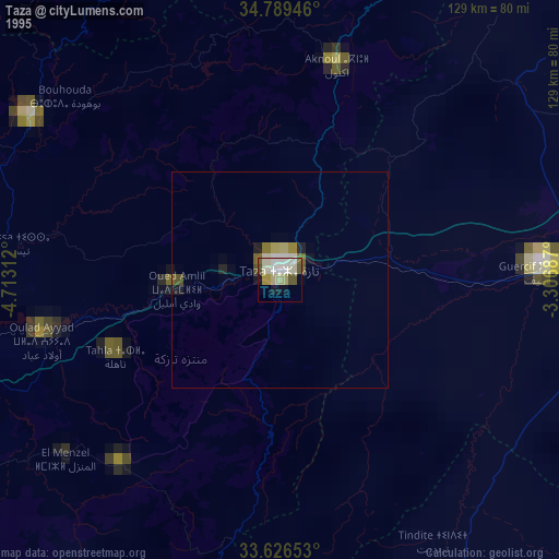
» NASA, Earths city lights 1995
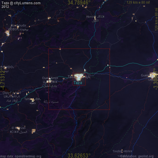
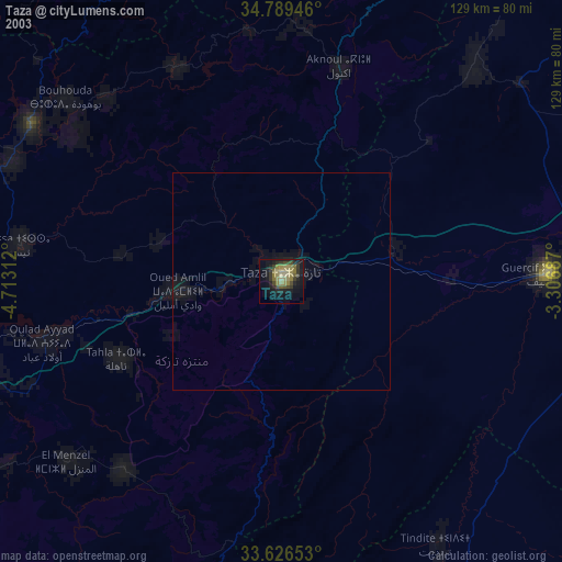
» NASA city lights 2003
» Earth at Night: Flat Maps 2012, 2016