Guelmim night lights from space
Night Light of Guelmim (Guelmim-Oued Noun) from space (Morocco) Src. Average luminocity for 10x10km area is 34.6151% and for 50x50km: 1.8826%.
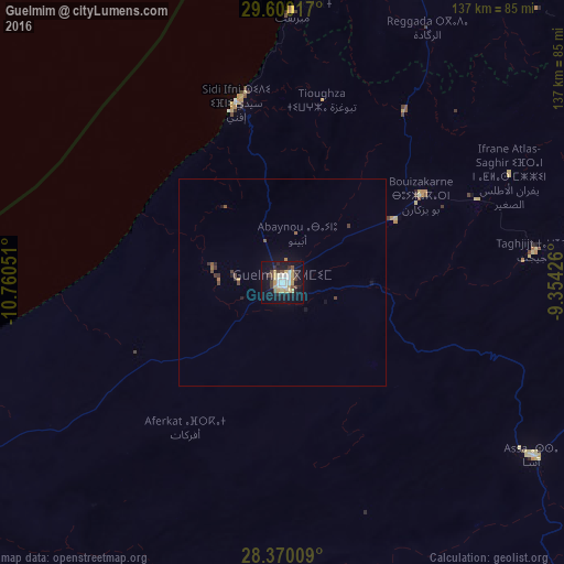
Analysis of Guelmim night lights 2016
Square area 10x10 km:
 5.75%
5.75%90-99
5.95%80-89
6.35%70-79
7.34%60-69
0%50-59
1.98%40-49
4.17%30-39
5.36%20-29
3.97%10-19
37.7%0-9
21.43%Square area 50x50 km:
0.22%90-99
0.23%80-89
0.24%70-79
0.31%60-69
0.09%50-59
0.21%40-49
0.32%30-39
0.39%20-29
0.23%10-19
1.73%0-9
96.04%Clear (daylight) street map image can be seen on geolist.org.
Map coordinates:
29° 36' 0.6" North, 10° 45' 37.8" West
28° 59' 13.1" North, 10° 3' 26.6" West
28° 22' 12.3" North, 9° 21' 15.3" West
Some cities around Guelmim sort by population:
• Agadir
165.4 km =102.8 mi,  15°
15°
• Taroudant
200.5 km =124.6 mi,  34°
34°
• Oulad Teïma
176.7 km =109.8 mi, 27°
• Tan-Tan
118.9 km =73.9 mi,  239°
239°
• Dakhla
165.6 km =102.9 mi, 17°
• Tiznit
85.1 km =52.9 mi, 21°
• Sidi Ifni
45.1 km =28 mi,  345°
345°
• Zag
130.7 km =81.2 mi,  145°
145°
2548526 (p: 98,229)
Sources (retrieved 2019-11-25):
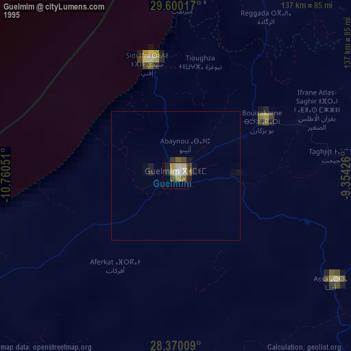
» NASA, Earths city lights 1995
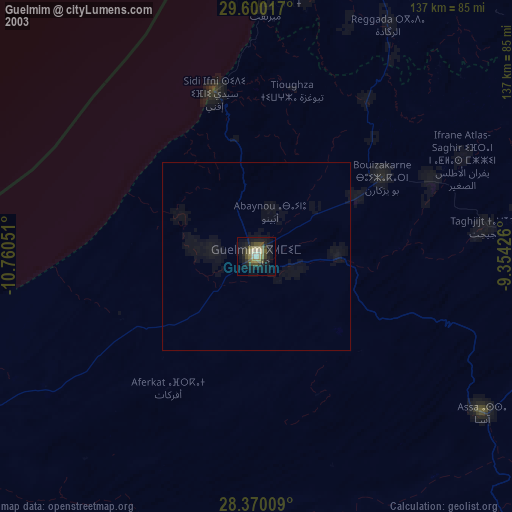
» NASA city lights 2003
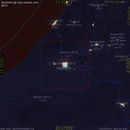
» Earth at Night: Flat Maps 2012, 2016