Azemmour night lights from space
Night Light of Azemmour (Casablanca-Settat) from space (Morocco) Src. Average luminocity for 10x10km area is 19.1171% and for 50x50km: 5.3059%.
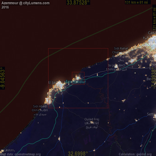
Analysis of Azemmour night lights 2016
Square area 10x10 km:
 0.87%
0.87%90-99
1.22%80-89
4.2%70-79
1.22%60-69
5.59%50-59
2.27%40-49
3.85%30-39
3.32%20-29
3.32%10-19
10.66%0-9
63.46%Square area 50x50 km:
0.69%90-99
0.51%80-89
0.89%70-79
0.72%60-69
0.88%50-59
0.55%40-49
0.56%30-39
0.75%20-29
1.5%10-19
4.38%0-9
88.56%Clear (daylight) street map image can be seen on geolist.org.
Map coordinates:
33° 52' 31" North, 9° 2' 44.3" West
33° 17' 22.3" North, 8° 20' 33" West
32° 41' 59.3" North, 7° 38' 21.8" West
Some cities around Azemmour sort by population:
• Casablanca
75.5 km =46.9 mi,  63°
63°
• Mohammedia
99.3 km =61.7 mi, 63°
• El Jadid
15.9 km =9.9 mi,  256°
256°
• Settat
74.8 km =46.5 mi,  115°
115°
• Berrechid
70.2 km =43.6 mi,  92°
92°
• Sidi Bennour
71.3 km =44.3 mi,  186°
186°
• Zawyat an Nwaçer
67.9 km =42.2 mi,  81°
81°
• Oualidia
89.1 km =55.4 mi,  226°
226°
2556657 (p: 37,140)
Sources (retrieved 2019-11-25):
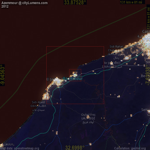
» Earth at Night: Flat Maps 2012, 2016