Settat night lights from space
Night Light of Settat (Casablanca-Settat) from space (Morocco) Src. Average luminocity for 10x10km area is 35.5861% and for 50x50km: 2.4382%.
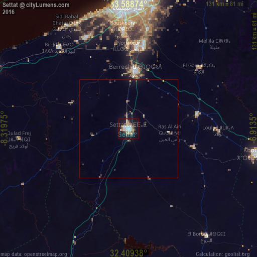
Analysis of Settat night lights 2016
Square area 10x10 km:
 7.69%
7.69%90-99
6.41%80-89
3.3%70-79
5.13%60-69
5.68%50-59
0.18%40-49
4.03%30-39
2.75%20-29
6.96%10-19
43.04%0-9
14.84%Square area 50x50 km:
0.31%90-99
0.26%80-89
0.3%70-79
0.23%60-69
0.4%50-59
0.13%40-49
0.35%30-39
0.39%20-29
0.53%10-19
2.59%0-9
94.5%Clear (daylight) street map image can be seen on geolist.org.
Map coordinates:
33° 35' 19.5" North, 8° 19' 11.1" West
33° 0' 3.7" North, 7° 36' 59.8" West
32° 24' 33.8" North, 6° 54' 48.6" West
Some cities around Settat sort by population:
• Casablanca
65.3 km =40.6 mi,  0°
0°
• Mohammedia
79.2 km =49.2 mi,  15°
15°
• Khouribga
67.6 km =42 mi,  101°
101°
• Berrechid
29.5 km =18.3 mi,  5°
5°
• Sidi Bennour
85.1 km =52.9 mi,  242°
242°
• Azemmour
74.8 km =46.5 mi,  295°
295°
• Boujniba
79.4 km =49.3 mi, 98°
• Zawyat an Nwaçer
42.1 km =26.2 mi,  359°
359°
2537406 (p: 119,082)
Sources (retrieved 2019-11-25):
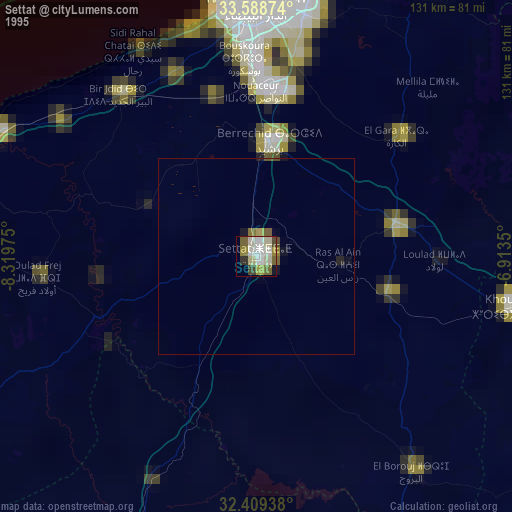
» NASA, Earths city lights 1995
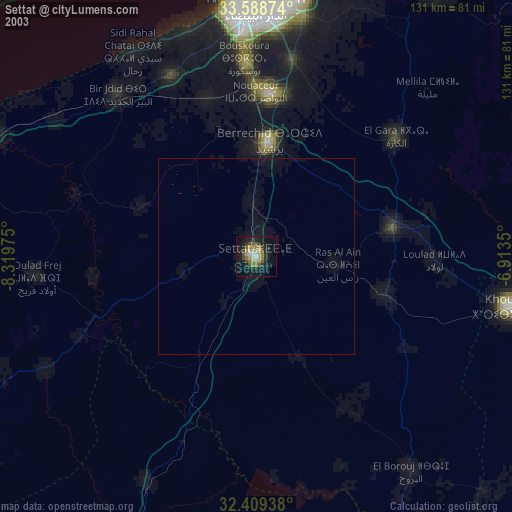
» NASA city lights 2003
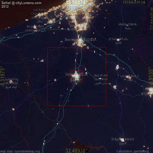
» Earth at Night: Flat Maps 2012, 2016