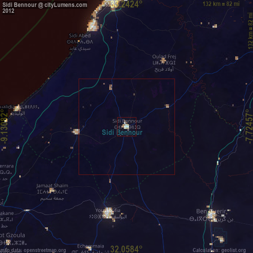
Sidi Bennour night lights from space
Night Light of Sidi Bennour (Casablanca-Settat) from space (Morocco) Src. Average luminocity for 10x10km area is 11.1853% and for 50x50km: 0.7282%.
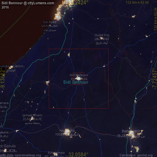
Analysis of Sidi Bennour night lights 2016
Square area 10x10 km:
 1.22%
1.22%90-99
1.75%80-89
1.92%70-79
2.1%60-69
0.7%50-59
0.7%40-49
2.1%30-39
1.05%20-29
1.75%10-19
0.35%0-9
86.36%Square area 50x50 km:
0.05%90-99
0.07%80-89
0.14%70-79
0.12%60-69
0.12%50-59
0.06%40-49
0.13%30-39
0.13%20-29
0.13%10-19
0.01%0-9
99.03%Clear (daylight) street map image can be seen on geolist.org.
Map coordinates:
33° 14' 32.6" North, 9° 7' 51" West
32° 39' 8.5" North, 8° 25' 39.7" West
32° 3' 30.2" North, 7° 43' 28.5" West
Some cities around Sidi Bennour sort by population:
• Safi
85.5 km =53.1 mi,  242°
242°
• El Jadid
67.6 km =42 mi,  353°
353°
• Settat
85.1 km =52.9 mi,  62°
62°
• Berrechid
103.9 km =64.6 mi,  48°
48°
• Youssoufia
46.1 km =28.6 mi,  191°
191°
• Azemmour
71.3 km =44.3 mi,  6°
6°
• Zawyat an Nwaçer
110.6 km =68.7 mi,  42°
42°
• Oualidia
57.1 km =35.5 mi,  279°
279°
2536074 (p: 40,044)
Sources (retrieved 2019-11-25):
» Earth at Night: Flat Maps 2012, 2016