El Jadid night lights from space
Night Light of El Jadid (Casablanca-Settat) from space (Morocco) Src. Average luminocity for 10x10km area is 43.8007% and for 50x50km: 6.0519%.
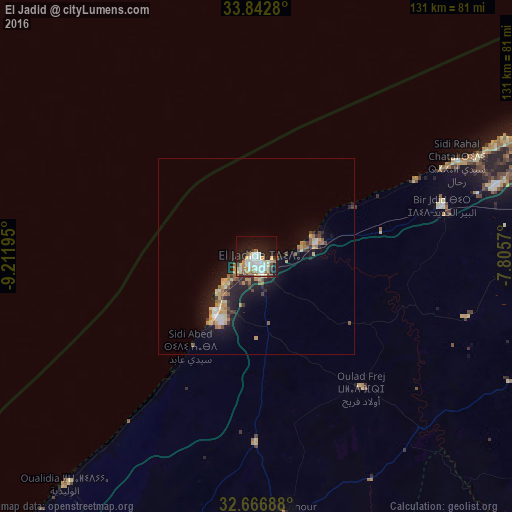
Analysis of El Jadid night lights 2016
Square area 10x10 km:
 12.76%
90-99
7.87%80-89
5.42%70-79
5.24%60-69
6.29%50-59
2.8%40-49
1.22%30-39
4.2%20-29
11.19%10-19
25.52%0-9
17.48%Square area 50x50 km:
0.78%90-99
0.61%80-89
0.95%70-79
0.86%60-69
0.96%50-59
0.58%40-49
0.61%30-39
0.68%20-29
1.69%10-19
5.63%0-9
86.64%Clear (daylight) street map image can be seen on geolist.org.
Map coordinates:
33° 50' 34.1" North, 9° 12' 43" West
33° 15' 24.6" North, 8° 30' 31.8" West
32° 40' 0.8" North, 7° 48' 20.5" West
Some cities around El Jadid sort by population:
• Casablanca
91.1 km =56.6 mi,  66°
66°
• Settat
87.8 km =54.6 mi,  108°
108°
• Berrechid
85.7 km =53.3 mi,  89°
89°
• Youssoufia
112.4 km =69.8 mi,  180°
180°
• Sidi Bennour
67.6 km =42 mi,  173°
173°
• Azemmour
15.9 km =9.9 mi,  76°
76°
• Zawyat an Nwaçer
83.8 km =52.1 mi, 80°
• Oualidia
75.8 km =47.1 mi,  219°
219°
2550078 (p: 147,549)
Sources (retrieved 2019-11-25):
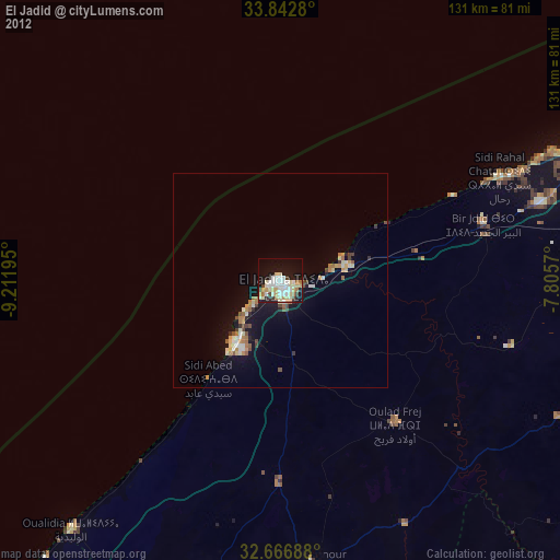
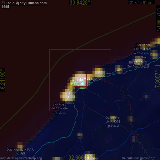
» NASA, Earths city lights 1995
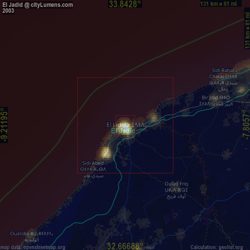
» NASA city lights 2003
» Earth at Night: Flat Maps 2012, 2016