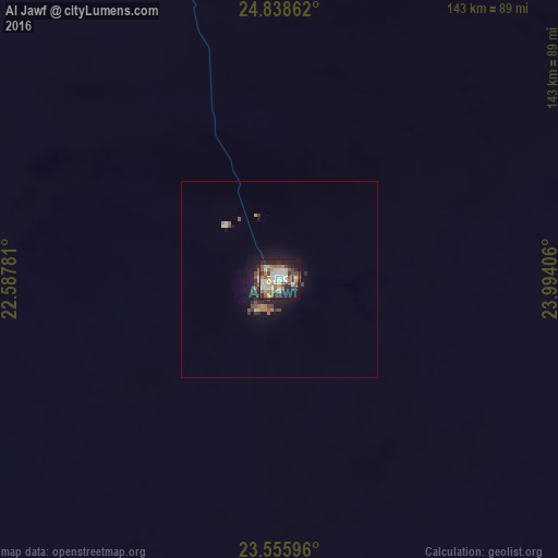
Al Jawf night lights from space
Night Light of Al Jawf (Al Kufrah) from space (Libya) Src. Average luminocity for 10x10km area is 52.9678% and for 50x50km: 3.6606%.
Analysis of Al Jawf night lights 2016
Square area 10x10 km:
 11.55%
90-99
12.31%80-89
2.46%70-79
6.44%60-69
9.85%50-59
8.33%40-49
6.25%30-39
6.06%20-29
16.29%10-19
18.56%0-9
1.89%Square area 50x50 km:
0.54%90-99
0.58%80-89
0.16%70-79
0.35%60-69
0.64%50-59
0.64%40-49
0.49%30-39
0.57%20-29
1.09%10-19
2.76%0-9
92.18%Clear (daylight) street map image can be seen on geolist.org.
Map coordinates:
24° 50' 19" North, 22° 35' 16.1" East
24° 11' 56" North, 23° 17' 27.3" East
23° 33' 21.5" North, 23° 59' 38.6" East
Some cities around Al Jawf sort by population:
• Ajdabiya
789.1 km =490.3 mi,  337°
337°
• Al Khārijah, EG
745.2 km =463 mi,  79°
79°
• At Tāj
0.8 km =0.5 mi,  321°
321°
• Al Bawīţī, EG
722.2 km =448.8 mi,  50°
50°
• Al Burayqah
781.7 km =485.7 mi,  332°
332°
• Siwa Oasis, EG
598.8 km =372.1 mi,  21°
21°
• Awjilah
581 km =361 mi, 339°
• Bardaï, TD
718 km =446.1 mi,  243°
243°
88962 (p: 17,320)
Sources (retrieved 2019-11-25):
» Earth at Night: Flat Maps 2012, 2016