Al Khārijah night lights from space
Night Light of Al Khārijah (New Valley) from space (Egypt) Src. Average luminocity for 10x10km area is 44.2222% and for 50x50km: 3.8032%.
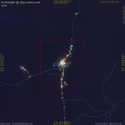
Analysis of Al Khārijah night lights 2016
Square area 10x10 km:
 10.32%
90-99
11.51%80-89
3.37%70-79
1.79%60-69
3.57%50-59
3.57%40-49
5.16%30-39
12.9%20-29
8.53%10-19
36.11%0-9
3.17%Square area 50x50 km:
0.47%90-99
0.61%80-89
0.36%70-79
0.21%60-69
0.23%50-59
0.27%40-49
0.74%30-39
1.31%20-29
0.84%10-19
2.83%0-9
92.13%Clear (daylight) street map image can be seen on geolist.org.
Map coordinates:
26° 5' 4.6" North, 29° 50' 35.6" East
25° 27' 5.1" North, 30° 32' 46.9" East
24° 48' 53.5" North, 31° 14' 58.1" East
Some cities around Al Khārijah sort by population:
• Sohag
168.2 km =104.5 mi,  43°
43°
• Jirjā
166.8 km =103.6 mi,  53°
53°
• Akhmīm
172 km =106.9 mi, 44°
• Ţahţā
174.8 km =108.6 mi,  33°
33°
• Al Manshāh
169.7 km =105.4 mi, 47°
• Farshūţ
175.3 km =108.9 mi,  67°
67°
• Al Balyanā
169.9 km =105.6 mi,  59°
59°
• Juhaynah
165.8 km =103 mi, 34°
360923 (p: 67,700)
Sources (retrieved 2019-11-25):
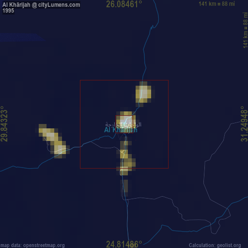
» NASA, Earths city lights 1995
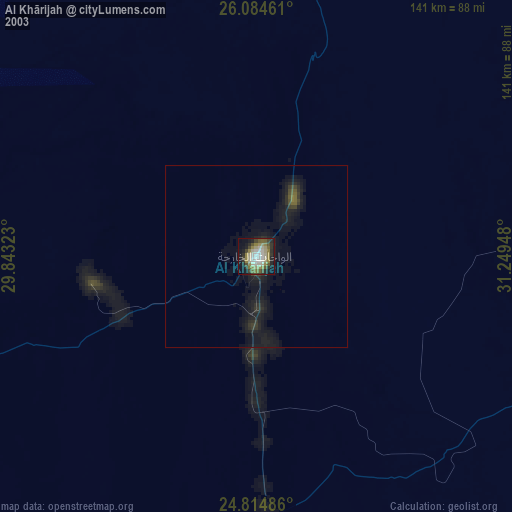
» NASA city lights 2003
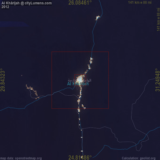
» Earth at Night: Flat Maps 2012, 2016