Al Bawīţī night lights from space
Night Light of Al Bawīţī (Giza) from space (Egypt) Src. Average luminocity for 10x10km area is 26.2976% and for 50x50km: 1.8885%.
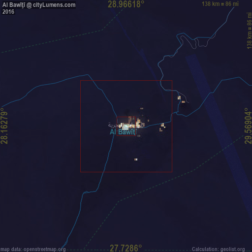
Analysis of Al Bawīţī night lights 2016
Square area 10x10 km:
 2.38%
2.38%90-99
4.76%80-89
6.15%70-79
2.58%60-69
0.79%50-59
0.79%40-49
3.17%30-39
8.33%20-29
1.19%10-19
36.51%0-9
33.33%Square area 50x50 km:
0.11%90-99
0.26%80-89
0.41%70-79
0.18%60-69
0.17%50-59
0.04%40-49
0.24%30-39
0.69%20-29
0.19%10-19
1.78%0-9
95.94%Clear (daylight) street map image can be seen on geolist.org.
Map coordinates:
28° 57' 58.2" North, 28° 9' 46" East
28° 20' 57.1" North, 28° 51' 57.3" East
27° 43' 43" North, 29° 34' 8.5" East
Some cities around Al Bawīţī sort by population:
• Al Minyā
186.5 km =115.9 mi,  98°
98°
• Mallawī
205.7 km =127.8 mi,  109°
109°
• Samālūţ
180.5 km =112.2 mi,  91°
91°
• Al Fashn
205.5 km =127.7 mi,  75°
75°
• Abū Qurqāş
198.9 km =123.6 mi, 103°
• Banī Mazār
189.9 km =118 mi, 84°
• Maţāy
187.3 km =116.4 mi, 87°
• Sumusţā as Sulţānī
203.6 km =126.5 mi,  71°
71°
361394 (p: 20,000)
Sources (retrieved 2019-11-25):
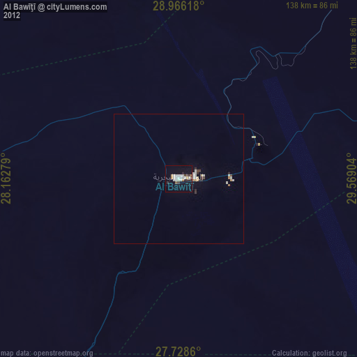
» Earth at Night: Flat Maps 2012, 2016