Druskininkai night lights from space
Night Light of Druskininkai (Alytus) from space (Lithuania) Src. Average luminocity for 10x10km area is 12.5417% and for 50x50km: 0.6201%.
Analysis of Druskininkai night lights 2016
Square area 10x10 km:
 2.27%
2.27%90-99
2.27%80-89
1.52%70-79
1.52%60-69
1.52%50-59
1.26%40-49
1.01%30-39
0%20-29
0%10-19
3.91%0-9
84.72%Square area 50x50 km:
0.11%90-99
0.11%80-89
0.06%70-79
0.08%60-69
0.08%50-59
0.08%40-49
0.04%30-39
0%20-29
0.02%10-19
0.16%0-9
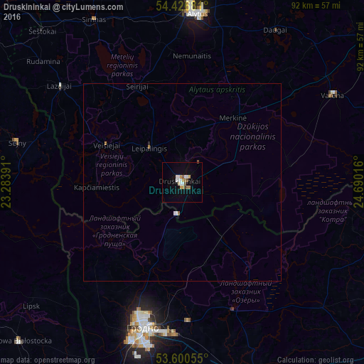
99.26%Clear (daylight) street map image can be seen on geolist.org.
Map coordinates:
54° 25' 36.5" North, 23° 17' 2.1" East
54° 0' 56.6" North, 23° 59' 13.3" East
53° 36' 2" North, 24° 41' 24.6" East
Some cities around Druskininkai sort by population:
• Hrodna, BY
37.9 km =23.5 mi,  196°
196°
• Alytus
42.5 km =26.4 mi,  4°
4°
• Augustów, PL
68.7 km =42.7 mi,  253°
253°
• Shchuchyn, BY
67.9 km =42.2 mi,  132°
132°
• Skidel’, BY
50.3 km =31.3 mi,  160°
160°
• Varėna
44.3 km =27.5 mi,  59°
59°
• Dąbrowa Białostocka, PL
58.1 km =36.1 mi,  226°
226°
• Sejny, PL
43 km =26.7 mi,  283°
283°
599757 (p: 17,791)
Sources (retrieved 2019-11-25):
» Earth at Night: Flat Maps 2012, 2016