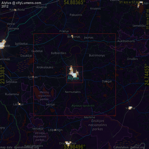
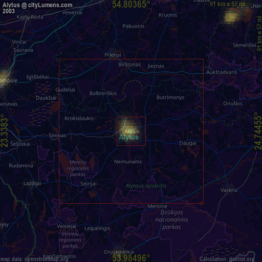
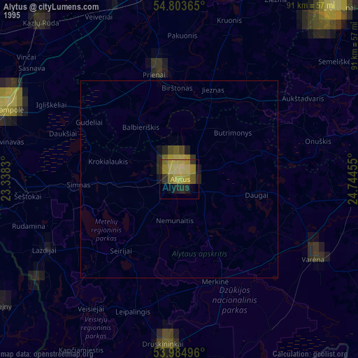
Alytus night lights from space
Night Light of Alytus from space (Lithuania) Src. Average luminocity for 10x10km area is 24.6902% and for 50x50km: 1.2068%.
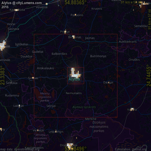
Analysis of Alytus night lights 2016
Square area 10x10 km:
 4.78%
4.78%90-99
7.54%80-89
1.56%70-79
1.44%60-69
2.87%50-59
1.2%40-49
0.6%30-39
2.99%20-29
2.51%10-19
27.15%0-9
47.37%Square area 50x50 km:
0.21%90-99
0.34%80-89
0.06%70-79
0.08%60-69
0.12%50-59
0.07%40-49
0.06%30-39
0.12%20-29
0.1%10-19
1.27%0-9
97.55%Clear (daylight) street map image can be seen on geolist.org.
Map coordinates:
54° 48' 13.1" North, 23° 20' 17.9" East
54° 23' 46.9" North, 24° 2' 29.1" East
53° 59' 5.9" North, 24° 44' 40.4" East
Some cities around Alytus sort by population:
• Marijampolė
48 km =29.8 mi,  292°
292°
• Aleksotas
54.5 km =33.9 mi,  350°
350°
• Druskininkai
42.5 km =26.4 mi,  184°
184°
• Garliava
48.5 km =30.1 mi, 346°
• Prienai
27.4 km =17 mi, 346°
• Varėna
40.1 km =24.9 mi,  120°
120°
• Kazlų Rūda
52.9 km =32.9 mi,  317°
317°
• Sejny, PL
55.3 km =34.4 mi,  234°
234°
601084 (p: 70,747)
Sources (retrieved 2019-11-25):
» NASA, Earths city lights 1995
» NASA city lights 2003
» Earth at Night: Flat Maps 2012, 2016