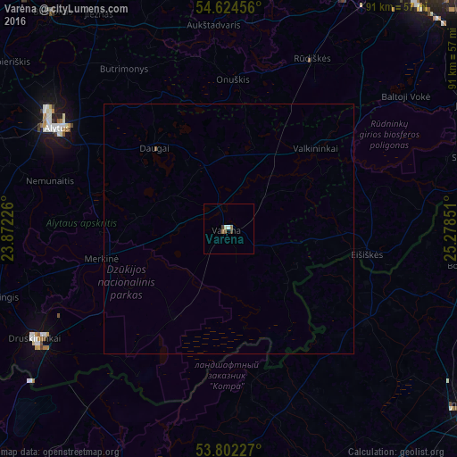
Varėna night lights from space
Night Light of Varėna (Alytus) from space (Lithuania) Src. Average luminocity for 10x10km area is 2.6243% and for 50x50km: 0.1111%.
Analysis of Varėna night lights 2016
Square area 10x10 km:
 0.4%
0.4%90-99
0.66%80-89
0%70-79
0%60-69
0.26%50-59
1.32%40-49
0.13%30-39
0.93%20-29
0%10-19
0%0-9
96.3%Square area 50x50 km:
0.02%90-99
0.03%80-89
0%70-79
0%60-69
0.01%50-59
0.07%40-49
0.01%30-39
0.04%20-29
0%10-19
0%0-9
99.84%Clear (daylight) street map image can be seen on geolist.org.
Map coordinates:
54° 37' 28.4" North, 23° 52' 20.1" East
54° 12' 55.7" North, 24° 34' 31.4" East
53° 48' 8.2" North, 25° 16' 42.6" East
Some cities around Varėna sort by population:
• Lida, BY
60 km =37.3 mi,  127°
127°
• Alytus
40.1 km =24.9 mi,  300°
300°
• Druskininkai
44.3 km =27.5 mi,  239°
239°
• Lentvaris
56.7 km =35.2 mi,  32°
32°
• Grigiškės
61.5 km =38.2 mi, 32°
• Šalčininkai
53.7 km =33.4 mi,  78°
78°
• Voranava, BY
48.4 km =30.1 mi,  98°
98°
• Trakai
52.4 km =32.6 mi, 26°
593406 (p: 10,304)
Sources (retrieved 2019-11-25):
» Earth at Night: Flat Maps 2012, 2016