Thaba-Tseka night lights from space
Night Light of Thaba-Tseka from space (Lesotho) Src. Average luminocity for 10x10km area is 2.1856% and for 50x50km: 0.1275%.
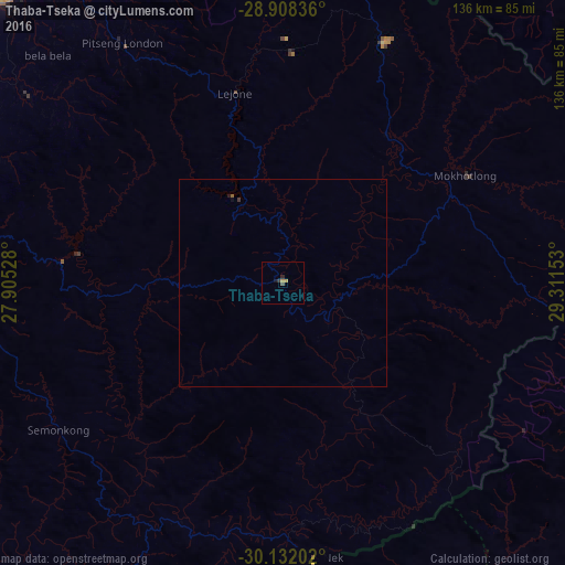
Analysis of Thaba-Tseka night lights 2016
Square area 10x10 km:
 0%
0%90-99
0%80-89
0.19%70-79
1.33%60-69
0%50-59
0%40-49
0.76%30-39
0.76%20-29
0.76%10-19
0.76%0-9
95.45%Square area 50x50 km:
0%90-99
0%80-89
0.01%70-79
0.05%60-69
0.01%50-59
0.01%40-49
0.03%30-39
0.06%20-29
0.04%10-19
0.05%0-9
99.73%Clear (daylight) street map image can be seen on geolist.org.
Map coordinates:
28° 54' 30.1" South, 27° 54' 19" East
29° 31' 19.3" South, 28° 36' 30.2" East
30° 7' 55.3" South, 29° 18' 41.5" East
Some cities around Thaba-Tseka sort by population:
• Maseru
111.3 km =69.2 mi,  281°
281°
• Leribe
90.6 km =56.3 mi,  322°
322°
• Maputsoe
98.6 km =61.3 mi, 315°
• Qacha’s Nek
66.4 km =41.3 mi,  173°
173°
• Butha-Buthe
90.9 km =56.5 mi,  337°
337°
• Nako
82.1 km =51 mi,  262°
262°
• Mokhotlong
51.4 km =31.9 mi,  59°
59°
• Teyateyaneng
93.2 km =57.9 mi,  296°
296°
1106835 (p: 5,423)
Sources (retrieved 2019-11-25):
» Earth at Night: Flat Maps 2012, 2016