Mokhotlong night lights from space
Night Light of Mokhotlong from space (Lesotho) Src. Average luminocity for 10x10km area is 0.7633% and for 50x50km: 0.0314%.
Analysis of Mokhotlong night lights 2016
Square area 10x10 km:
 0%
0%90-99
0%80-89
0%70-79
0%60-69
0%50-59
0%40-49
0%30-39
1.33%20-29
0.95%10-19
0%0-9
97.73%Square area 50x50 km:
0%90-99
0%80-89
0%70-79
0%60-69
0%50-59
0%40-49
0%30-39
0.05%20-29
0.04%10-19
0%0-9
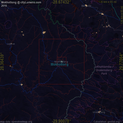
99.91%Clear (daylight) street map image can be seen on geolist.org.
Map coordinates:
28° 40' 27.6" South, 28° 21' 51.8" East
29° 17' 21.8" South, 29° 4' 3" East
29° 54' 2.8" South, 29° 46' 14.3" East
Some cities around Mokhotlong sort by population:
• Phuthaditjhaba, ZA
88.5 km =55 mi,  343°
343°
• Leribe
109.7 km =68.2 mi,  295°
295°
• Harrismith, ZA
113.2 km =70.3 mi,  3°
3°
• Mpophomeni, ZA
112.7 km =70 mi,  105°
105°
• Qacha’s Nek
98.8 km =61.4 mi,  201°
201°
• Butha-Buthe
98.5 km =61.2 mi,  306°
306°
• Mooirivier, ZA
90.4 km =56.2 mi,  84°
84°
• Thaba-Tseka
51.4 km =31.9 mi,  239°
239°
932416 (p: 8,809)
Sources (retrieved 2019-11-25):
» Earth at Night: Flat Maps 2012, 2016