Mpophomeni night lights from space
Night Light of Mpophomeni (KwaZulu-Natal) from space (South Africa) Src. Average luminocity for 10x10km area is 10.2197% and for 50x50km: 10.8398%.
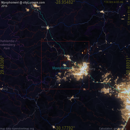
Analysis of Mpophomeni night lights 2016
Square area 10x10 km:
 0%
0%90-99
0%80-89
1.33%70-79
0.95%60-69
1.14%50-59
2.65%40-49
2.08%30-39
0.95%20-29
1.33%10-19
8.52%0-9
81.06%Square area 50x50 km:
1.03%90-99
1.34%80-89
1.17%70-79
1.87%60-69
1.92%50-59
2.21%40-49
1.92%30-39
2.19%20-29
2.26%10-19
5.41%0-9
78.69%Clear (daylight) street map image can be seen on geolist.org.
Map coordinates:
28° 57' 17.4" South, 29° 28' 59" East
29° 34' 5.6" South, 30° 11' 10.2" East
30° 10' 40.5" South, 30° 53' 21.5" East
Some cities around Mpophomeni sort by population:
• Durban
87.6 km =54.4 mi,  111°
111°
• Pietermaritzburg
20.7 km =12.9 mi, 105°
• Mpumalanga
51.3 km =31.9 mi,  122°
122°
• Richmond
34.8 km =21.6 mi,  166°
166°
• Howick
10.9 km =6.8 mi,  23°
23°
• Berea
84.1 km =52.3 mi, 112°
• Greytown
68.5 km =42.6 mi,  35°
35°
• Mooirivier
44.1 km =27.4 mi,  335°
335°
973139 (p: 26,229)
Sources (retrieved 2019-11-25):
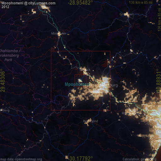
» Earth at Night: Flat Maps 2012, 2016