Leribe night lights from space
Night Light of Leribe from space (Lesotho) Src. Average luminocity for 10x10km area is 6.8409% and for 50x50km: 2.0125%.
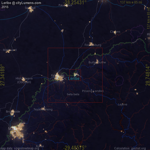
Analysis of Leribe night lights 2016
Square area 10x10 km:
 0%
0%90-99
0%80-89
0.19%70-79
2.27%60-69
2.08%50-59
1.52%40-49
1.52%30-39
2.65%20-29
0.38%10-19
0.76%0-9
88.64%Square area 50x50 km:
0.07%90-99
0.13%80-89
0.08%70-79
0.76%60-69
0.24%50-59
0.37%40-49
0.31%30-39
0.34%20-29
0.22%10-19
1.46%0-9
96.01%Clear (daylight) street map image can be seen on geolist.org.
Map coordinates:
28° 15' 15.5" South, 27° 20' 30.8" East
28° 52' 18.7" South, 28° 2' 42" East
29° 29' 8.7" South, 28° 44' 53.3" East
Some cities around Leribe sort by population:
• Maseru
73.7 km =45.8 mi,  227°
227°
• Senekal, ZA
74.1 km =46 mi,  325°
325°
• Maputsoe
14.3 km =8.9 mi,  263°
263°
• Ladybrand, ZA
67.5 km =41.9 mi,  237°
237°
• Butha-Buthe
23.1 km =14.4 mi,  59°
59°
• Clocolan, ZA
46.9 km =29.1 mi, 264°
• Marquard, ZA
64.2 km =39.9 mi,  291°
291°
• Teyateyaneng
42 km =26.1 mi,  223°
223°
932698 (p: 47,675)
Sources (retrieved 2019-11-25):
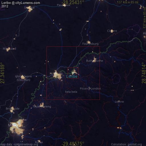
» Earth at Night: Flat Maps 2012, 2016