Thaba Nchu night lights from space
Night Light of Thaba Nchu (Orange Free State) from space (South Africa) Src. Average luminocity for 10x10km area is 40.4861% and for 50x50km: 6.2742%.
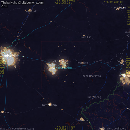
Analysis of Thaba Nchu night lights 2016
Square area 10x10 km:
 2.18%
2.18%90-99
3.77%80-89
7.54%70-79
19.64%60-69
3.37%50-59
3.57%40-49
5.36%30-39
1.59%20-29
8.13%10-19
26.19%0-9
18.65%Square area 50x50 km:
0.76%90-99
0.93%80-89
0.68%70-79
1.66%60-69
0.51%50-59
0.4%40-49
0.67%30-39
0.82%20-29
1.83%10-19
5.69%0-9
86.05%Clear (daylight) street map image can be seen on geolist.org.
Map coordinates:
28° 35' 37.6" South, 26° 8' 9.1" East
29° 12' 33.6" South, 26° 50' 20.3" East
29° 49' 16.3" South, 27° 32' 31.6" East
Some cities around Thaba Nchu sort by population:
• Bloemfontein
61.5 km =38.2 mi,  279°
279°
• Botshabelo
12.7 km =7.9 mi,  239°
239°
• Maseru, LS
63.6 km =39.5 mi,  100°
100°
• Mafeteng, LS
78.4 km =48.7 mi,  150°
150°
• Ladybrand
60 km =37.3 mi,  88°
88°
• Clocolan
77.9 km =48.4 mi,  65°
65°
• Brandfort
67.6 km =42 mi,  326°
326°
• Winburg
78.6 km =48.8 mi,  12°
12°
949703 (p: 38,616)
Sources (retrieved 2019-11-25):
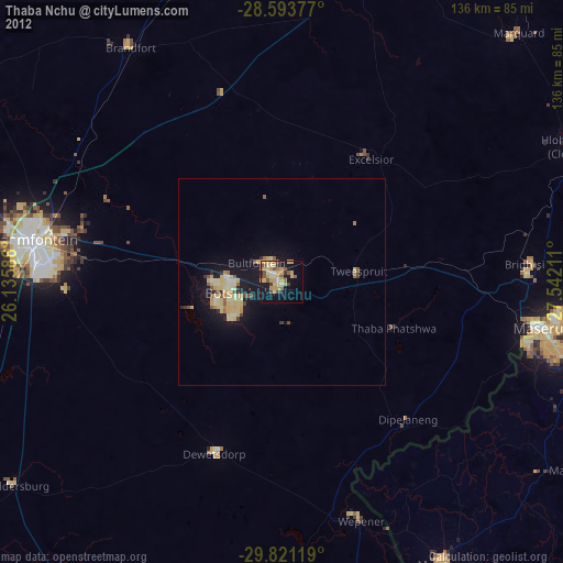
» Earth at Night: Flat Maps 2012, 2016