Kakata night lights from space
Night Light of Kakata (Margibi) from space (Liberia) Src. Average luminocity for 10x10km area is 0% and for 50x50km: 0.0717%.
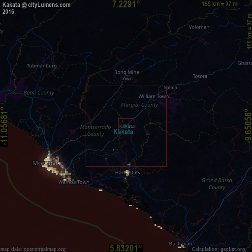
Analysis of Kakata night lights 2016
Square area 10x10 km:
 0%
0%90-99
0%80-89
0%70-79
0%60-69
0%50-59
0%40-49
0%30-39
0%20-29
0%10-19
0%0-9
100%Square area 50x50 km:
0%90-99
0%80-89
0%70-79
0%60-69
0%50-59
0.03%40-49
0.03%30-39
0.03%20-29
0.03%10-19
0.03%0-9
99.83%Clear (daylight) street map image can be seen on geolist.org.
Map coordinates:
7° 13' 44.8" North, 11° 3' 24.5" West
6° 31' 51.7" North, 10° 21' 13.2" West
5° 49' 55.2" North, 9° 39' 2" West
Some cities around Kakata sort by population:
• Monrovia
55.3 km =34.4 mi,  242°
242°
• Gbarnga
110.3 km =68.5 mi,  62°
62°
• Bensonville
30.1 km =18.7 mi,  251°
251°
• Buchanan
80.1 km =49.8 mi,  155°
155°
• Robertsport
114.6 km =71.2 mi,  282°
282°
• Tubmanburg
64 km =39.8 mi,  306°
306°
• Bopolu
61.4 km =38.2 mi,  346°
346°
• Cestos City
146.8 km =91.2 mi,  144°
144°
2276086 (p: 33,945)
Sources (retrieved 2019-11-25):
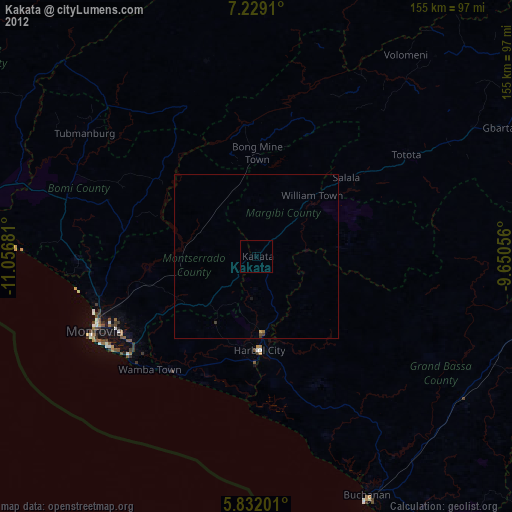
» Earth at Night: Flat Maps 2012, 2016