Bopolu night lights from space
Night Light of Bopolu (Gbarpolu) from space (Liberia) Src. Average luminocity for 10x10km area is 0% and for 50x50km: 0%.
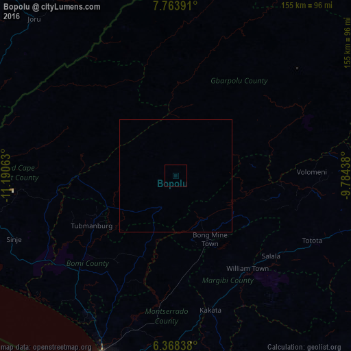
Analysis of Bopolu night lights 2016
Square area 10x10 km:
 0%
0%90-99
0%80-89
0%70-79
0%60-69
0%50-59
0%40-49
0%30-39
0%20-29
0%10-19
0%0-9
100%Square area 50x50 km:
0%90-99
0%80-89
0%70-79
0%60-69
0%50-59
0%40-49
0%30-39
0%20-29
0%10-19
0%0-9
100%Clear (daylight) street map image can be seen on geolist.org.
Map coordinates:
7° 45' 50.1" North, 11° 11' 26.3" West
7° 4' 0" North, 10° 29' 15" West
6° 22' 6.2" North, 9° 47' 3.8" West
Some cities around Bopolu sort by population:
• Monrovia
91.8 km =57 mi,  201°
201°
• Gbarnga
112.4 km =69.8 mi,  94°
94°
• Kakata
61.4 km =38.2 mi,  166°
166°
• Bensonville
70.3 km =43.7 mi,  191°
191°
• Segbwema, SL
115.1 km =71.5 mi,  333°
333°
• Robertsport
103.2 km =64.1 mi,  250°
250°
• Daru, SL
109.8 km =68.2 mi,  339°
339°
• Tubmanburg
42.8 km =26.6 mi,  239°
239°
2278248 (p: 2,908)
Sources (retrieved 2019-11-25):
» Earth at Night: Flat Maps 2012, 2016