Bensonville night lights from space
Night Light of Bensonville (Montserrado) from space (Liberia) Src. Average luminocity for 10x10km area is 0% and for 50x50km: 3.0914%.
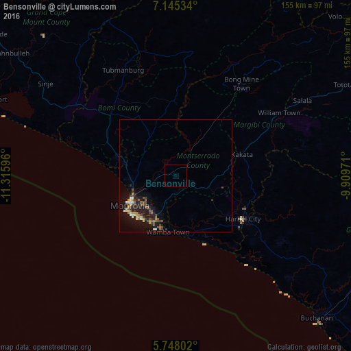
Analysis of Bensonville night lights 2016
Square area 10x10 km:
 0%
0%90-99
0%80-89
0%70-79
0%60-69
0%50-59
0%40-49
0%30-39
0%20-29
0%10-19
0%0-9
100%Square area 50x50 km:
0.16%90-99
0.37%80-89
0.23%70-79
0.48%60-69
0.24%50-59
0.82%40-49
0.58%30-39
0.48%20-29
0.76%10-19
3.39%0-9
92.48%Clear (daylight) street map image can be seen on geolist.org.
Map coordinates:
7° 8' 43.2" North, 11° 18' 57.5" West
6° 26' 49.8" North, 10° 36' 46.2" West
5° 44' 52.9" North, 9° 54' 35" West
Some cities around Bensonville sort by population:
• Monrovia
26.1 km =16.2 mi,  231°
231°
• Gbarnga
140 km =87 mi,  64°
64°
• Kakata
30.1 km =18.7 mi,  71°
71°
• Buchanan
88.9 km =55.2 mi,  135°
135°
• Robertsport
90 km =55.9 mi,  292°
292°
• Bomi, SL
134.4 km =83.5 mi,  311°
311°
• Tubmanburg
52.4 km =32.6 mi,  333°
333°
• Bopolu
70.3 km =43.7 mi,  11°
11°
2278682 (p: 33,188)
Sources (retrieved 2019-11-25):
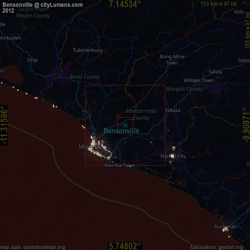
» Earth at Night: Flat Maps 2012, 2016