Buchanan night lights from space
Night Light of Buchanan (Grand Bassa) from space (Liberia) Src. Average luminocity for 10x10km area is 3.843% and for 50x50km: 0.3403%.
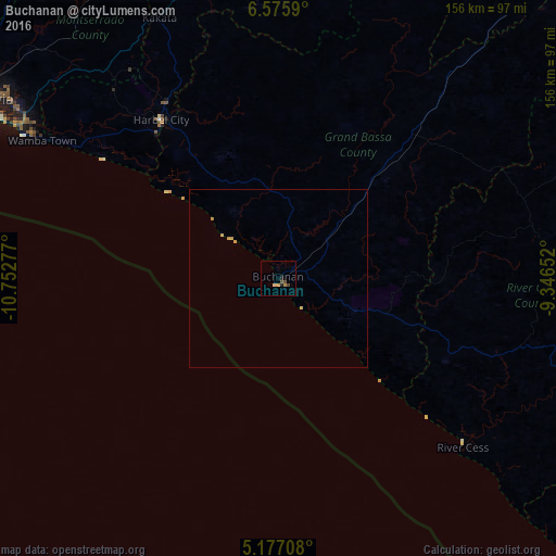
Analysis of Buchanan night lights 2016
Square area 10x10 km:
 0%
0%90-99
0%80-89
0.83%70-79
1.03%60-69
0.62%50-59
0.62%40-49
1.65%30-39
0.21%20-29
1.03%10-19
0.62%0-9
93.39%Square area 50x50 km:
0%90-99
0%80-89
0.1%70-79
0.15%60-69
0.06%50-59
0.03%40-49
0.07%30-39
0.01%20-29
0.04%10-19
0.03%0-9
99.52%Clear (daylight) street map image can be seen on geolist.org.
Map coordinates:
6° 34' 33.2" North, 10° 45' 10" West
5° 52' 36.9" North, 10° 2' 58.7" West
5° 10' 37.5" North, 9° 20' 47.5" West
Some cities around Buchanan sort by population:
• Monrovia
95.1 km =59.1 mi,  299°
299°
• Gbarnga
139.8 km =86.9 mi,  27°
27°
• Kakata
80.1 km =49.8 mi,  335°
335°
• Bensonville
88.9 km =55.2 mi,  315°
315°
• Greenville
147.6 km =91.7 mi,  130°
130°
• Tubmanburg
139.6 km =86.7 mi, 322°
• Bopolu
140.9 km =87.6 mi, 339°
• Cestos City
69.7 km =43.3 mi, 132°
2278158 (p: 25,731)
Sources (retrieved 2019-11-25):
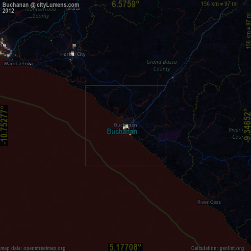
» Earth at Night: Flat Maps 2012, 2016