Tubmanburg night lights from space
Night Light of Tubmanburg (Bomi) from space (Liberia) Src. Average luminocity for 10x10km area is 0% and for 50x50km: 0%.
Analysis of Tubmanburg night lights 2016
Square area 10x10 km:
 0%
0%90-99
0%80-89
0%70-79
0%60-69
0%50-59
0%40-49
0%30-39
0%20-29
0%10-19
0%0-9
100%Square area 50x50 km:
0%90-99
0%80-89
0%70-79
0%60-69
0%50-59
0%40-49
0%30-39
0%20-29
0%10-19
0%0-9
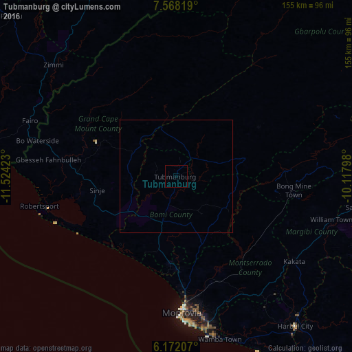
100%Clear (daylight) street map image can be seen on geolist.org.
Map coordinates:
7° 34' 5.5" North, 11° 31' 27.2" West
6° 52' 14.3" North, 10° 49' 16" West
6° 10' 19.5" North, 10° 7' 4.7" West
Some cities around Tubmanburg sort by population:
• Monrovia
63.4 km =39.4 mi,  177°
177°
• Kakata
64 km =39.8 mi,  126°
126°
• Bensonville
52.4 km =32.6 mi,  153°
153°
• Robertsport
61.7 km =38.3 mi,  257°
257°
• Pujehun, SL
113.1 km =70.3 mi,  298°
298°
• Foindu, SL
99.7 km =62 mi,  306°
306°
• Bomi, SL
88.3 km =54.9 mi, 298°
• Bopolu
42.8 km =26.6 mi,  59°
59°
2273435 (p: 3,155)
Sources (retrieved 2019-11-25):
» Earth at Night: Flat Maps 2012, 2016