Robertsport night lights from space
Night Light of Robertsport (Grand Cape Mount) from space (Liberia) Src. Average luminocity for 10x10km area is 1.5% and for 50x50km: 0.1507%.
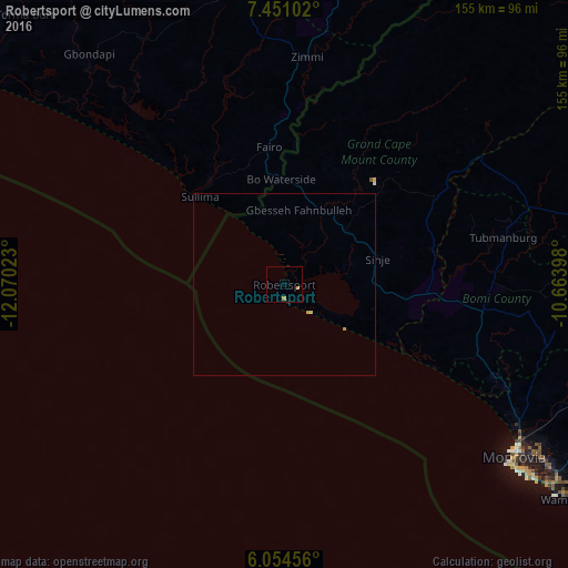
Analysis of Robertsport night lights 2016
Square area 10x10 km:
 0%
0%90-99
0%80-89
0%70-79
0.87%60-69
0.87%50-59
0%40-49
0%30-39
0%20-29
0.43%10-19
0%0-9
97.84%Square area 50x50 km:
0%90-99
0%80-89
0.03%70-79
0.07%60-69
0.07%50-59
0%40-49
0%30-39
0%20-29
0.03%10-19
0%0-9
99.79%Clear (daylight) street map image can be seen on geolist.org.
Map coordinates:
7° 27' 3.7" North, 12° 4' 12.8" West
6° 45' 11.8" North, 11° 22' 1.6" West
6° 3' 16.4" North, 10° 39' 50.3" West
Some cities around Robertsport sort by population:
• Monrovia
80.6 km =50.1 mi,  128°
128°
• Bensonville
90 km =55.9 mi,  112°
112°
• Gandorhun, SL
96.1 km =59.7 mi,  338°
338°
• Gandorhun, SL
97 km =60.3 mi,  328°
328°
• Pujehun, SL
77.8 km =48.3 mi, 329°
• Foindu, SL
75.5 km =46.9 mi,  345°
345°
• Bomi, SL
57.5 km =35.7 mi, 342°
• Tubmanburg
61.7 km =38.3 mi,  77°
77°
2274275 (p: 11,969)
Sources (retrieved 2019-11-25):
» Earth at Night: Flat Maps 2012, 2016