Gbarnga night lights from space
Night Light of Gbarnga (Bong) from space (Liberia) Src. Average luminocity for 10x10km area is 0% and for 50x50km: 0%.
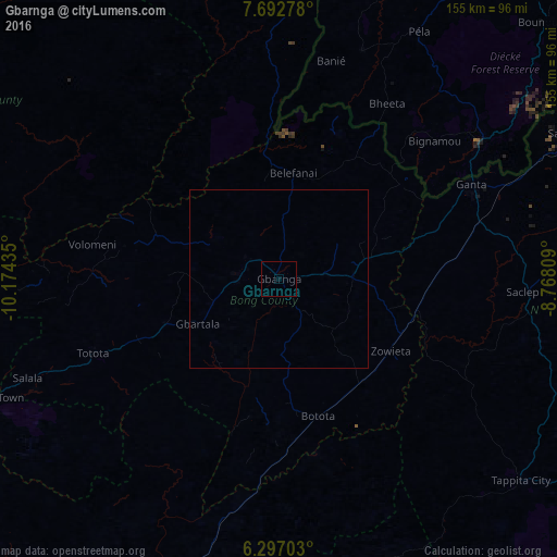
Analysis of Gbarnga night lights 2016
Square area 10x10 km:
 0%
0%90-99
0%80-89
0%70-79
0%60-69
0%50-59
0%40-49
0%30-39
0%20-29
0%10-19
0%0-9
100%Square area 50x50 km:
0%90-99
0%80-89
0%70-79
0%60-69
0%50-59
0%40-49
0%30-39
0%20-29
0%10-19
0%0-9
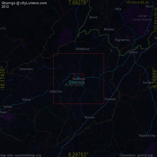
100%Clear (daylight) street map image can be seen on geolist.org.
Map coordinates:
7° 41' 34" North, 10° 10' 27.7" West
6° 59' 43.5" North, 9° 28' 16.4" West
6° 17' 49.3" North, 8° 46' 5.1" West
Some cities around Gbarnga sort by population:
• Nzérékoré, GN
111.1 km =69 mi,  40°
40°
• Kakata
110.3 km =68.5 mi,  242°
242°
• Buchanan
139.8 km =86.9 mi,  207°
207°
• New Yekepa
121.7 km =75.6 mi,  57°
57°
• Toulépleu Gueré, CI
124.6 km =77.4 mi,  112°
112°
• Ganta
109.2 km =67.9 mi,  71°
71°
• Sanniquellie
93 km =57.8 mi, 64°
• Bopolu
112.4 km =69.8 mi,  274°
274°
2277060 (p: 45,835)
Sources (retrieved 2019-11-25):
» Earth at Night: Flat Maps 2012, 2016