Greenville night lights from space
Night Light of Greenville (Sinoe) from space (Liberia) Src. Average luminocity for 10x10km area is 0.2231% and for 50x50km: 0.036%.
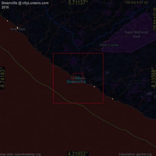
Analysis of Greenville night lights 2016
Square area 10x10 km:
 0%
0%90-99
0%80-89
0%70-79
0%60-69
0%50-59
0%40-49
0%30-39
0%20-29
0.83%10-19
0%0-9
99.17%Square area 50x50 km:
0%90-99
0%80-89
0%70-79
0.03%60-69
0.01%50-59
0%40-49
0%30-39
0%20-29
0.03%10-19
0%0-9
99.93%Clear (daylight) street map image can be seen on geolist.org.
Map coordinates:
5° 42' 40.9" North, 9° 44' 30.9" West
5° 0' 40.8" North, 9° 2' 19.7" West
4° 18' 37.9" North, 8° 20' 8.4" West
Some cities around Greenville sort by population:
• Harper
163.1 km =101.3 mi,  115°
115°
• Buchanan
147.6 km =91.7 mi,  310°
310°
• Zwedru
154.3 km =95.9 mi,  40°
40°
• Tabou, CI
198 km =123 mi,  109°
109°
• Toulépleu Gueré, CI
186.5 km =115.9 mi,  21°
21°
• Fish Town
130.5 km =81.1 mi,  80°
80°
• Barclayville
96.8 km =60.1 mi, 112°
• Cestos City
77.9 km =48.4 mi, 309°
2276600 (p: 16,434)
Sources (retrieved 2019-11-25):
» Earth at Night: Flat Maps 2012, 2016