En Nâqoûra night lights from space
Night Light of En Nâqoûra (South Governorate) from space (Lebanon) Src. Average luminocity for 10x10km area is 29.467% and for 50x50km: 28.5934%.
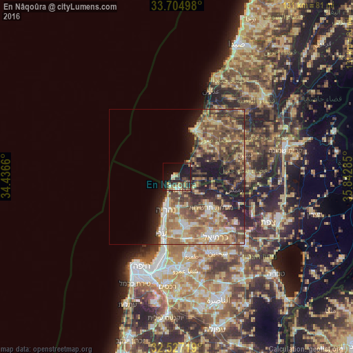
Analysis of En Nâqoûra night lights 2016
Square area 10x10 km:
 2.01%
2.01%90-99
1.65%80-89
5.31%70-79
4.21%60-69
3.66%50-59
3.66%40-49
6.41%30-39
9.34%20-29
9.89%10-19
30.95%0-9
22.89%Square area 50x50 km:
2.29%90-99
2.99%80-89
6.31%70-79
4.4%60-69
4.92%50-59
6.19%40-49
7.32%30-39
5.56%20-29
6.26%10-19
9.14%0-9
44.62%Clear (daylight) street map image can be seen on geolist.org.
Map coordinates:
33° 42' 17.9" North, 34° 26' 11.8" East
33° 7' 5" North, 35° 8' 23" East
32° 31' 37.9" North, 35° 50' 34.3" East
Some cities around En Nâqoûra sort by population:
• Tyre
18 km =11.2 mi,  16°
16°
• Nahariyya, IL
12.7 km =7.9 mi,  197°
197°
• Acre, IL
21.9 km =13.6 mi, 195°
• maalot Tarshīhā, IL
16.3 km =10.1 mi,  133°
133°
• Judeida Makr, IL
21.2 km =13.2 mi,  175°
175°
• Kfar Yasif, IL
18.3 km =11.4 mi,  173°
173°
• Kefar Weradim, IL
18.9 km =11.7 mi,  136°
136°
• Shelomi, IL
5.1 km =3.2 mi, 174°
278832 (p: 24,910)
Sources (retrieved 2019-11-25):
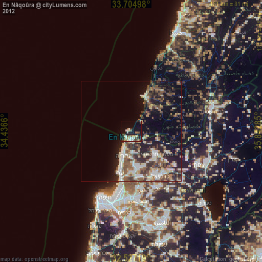
» Earth at Night: Flat Maps 2012, 2016