maalot Tarshīhā night lights from space
Night Light of maalot Tarshīhā (Northern District) from space (Israel) Src. Average luminocity for 10x10km area is 60.5641% and for 50x50km: 46.8842%.
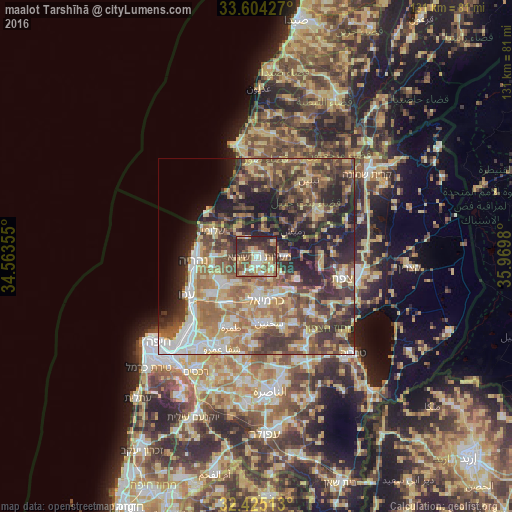
Analysis of maalot Tarshīhā night lights 2016
Square area 10x10 km:
 6.41%
6.41%90-99
11.36%80-89
13.92%70-79
10.07%60-69
5.49%50-59
10.07%40-49
14.1%30-39
14.84%20-29
13.74%10-19
0%0-9
0%Square area 50x50 km:
5.66%90-99
5.91%80-89
9.73%70-79
6.81%60-69
7.98%50-59
7.89%40-49
10.89%30-39
10.32%20-29
10.73%10-19
10.91%0-9
13.18%Clear (daylight) street map image can be seen on geolist.org.
Map coordinates:
33° 36' 15.4" North, 34° 33' 48.8" East
33° 1' 0" North, 35° 16' 0" East
32° 25' 30.5" North, 35° 58' 11.3" East
Some cities around maalot Tarshīhā sort by population:
• Karmi’el
11.6 km =7.2 mi,  162°
162°
• Naḥf
10.3 km =6.4 mi,  152°
152°
• Beit Jann
12.2 km =7.6 mi,  118°
118°
• Kfar Yasif
11.9 km =7.4 mi,  234°
234°
• Shelomi
12.9 km =8 mi,  298°
298°
• Kefar Weradim
2.7 km =1.7 mi, 157°
• Ḥurfeish
7.6 km =4.7 mi,  89°
89°
• Buqei‘a
7.6 km =4.7 mi, 124°
293420 (p: 21,400)
Sources (retrieved 2019-11-25):
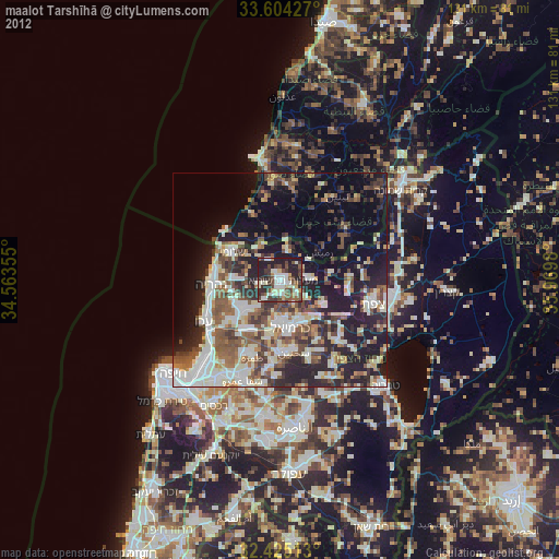
» Earth at Night: Flat Maps 2012, 2016