Nahariyya night lights from space
Night Light of Nahariyya (Northern District) from space (Israel) Src. Average luminocity for 10x10km area is 58.3626% and for 50x50km: 34.4435%.
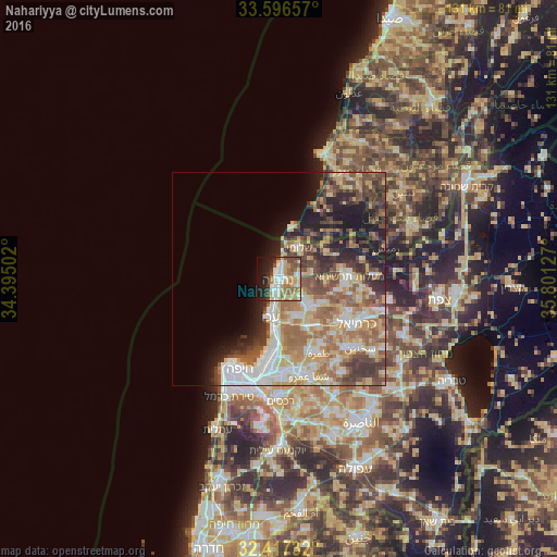
Analysis of Nahariyya night lights 2016
Square area 10x10 km:
 10.99%
90-99
11.36%80-89
12.09%70-79
8.97%60-69
10.26%50-59
6.78%40-49
6.41%30-39
3.85%20-29
11.9%10-19
14.47%0-9
2.93%Square area 50x50 km:
5.88%90-99
5.46%80-89
6.55%70-79
4.72%60-69
6.4%50-59
5.59%40-49
5.48%30-39
5.48%20-29
5.29%10-19
8.2%0-9
40.95%Clear (daylight) street map image can be seen on geolist.org.
Map coordinates:
33° 35' 47.7" North, 34° 23' 42.1" East
33° 0' 32.1" North, 35° 5' 53.3" East
32° 25' 2.4" North, 35° 48' 4.6" East
Some cities around Nahariyya sort by population:
• Acre
9.2 km =5.7 mi,  192°
192°
• Qiryat Yam
17.9 km =11.1 mi, 188°
• En Nâqoûra, LB
12.7 km =7.9 mi,  17°
17°
• maalot Tarshīhā
15.7 km =9.8 mi,  86°
86°
• Judeida Makr
10.5 km =6.5 mi,  148°
148°
• Kfar Yasif
8.5 km =5.3 mi,  135°
135°
• Kefar Weradim
16.8 km =10.4 mi,  95°
95°
• Shelomi
8.3 km =5.2 mi,  31°
31°
294117 (p: 51,200)
Sources (retrieved 2019-11-25):
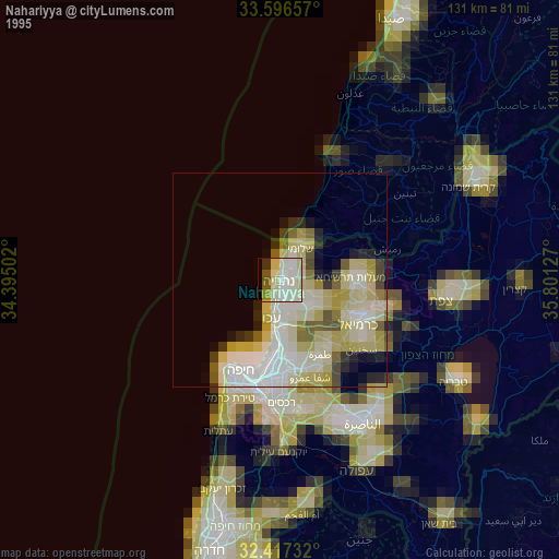
» NASA, Earths city lights 1995
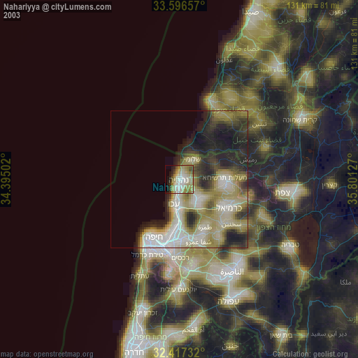
» NASA city lights 2003
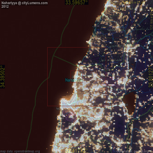
» Earth at Night: Flat Maps 2012, 2016