Tyre night lights from space
Night Light of Tyre (South Governorate) from space (Lebanon) Src. Average luminocity for 10x10km area is 30.2955% and for 50x50km: 23.058%.
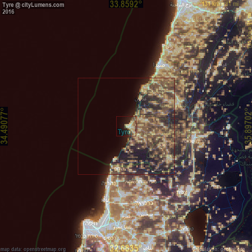
Analysis of Tyre night lights 2016
Square area 10x10 km:
 0%
0%90-99
3.85%80-89
12.24%70-79
5.42%60-69
2.27%50-59
3.15%40-49
4.2%30-39
4.2%20-29
8.22%10-19
18.71%0-9
37.76%Square area 50x50 km:
0.13%90-99
0.5%80-89
5.58%70-79
3.9%60-69
3.28%50-59
5.47%40-49
9.11%30-39
6.46%20-29
7.81%10-19
9.19%0-9
48.58%Clear (daylight) street map image can be seen on geolist.org.
Map coordinates:
33° 51' 33.1" North, 34° 29' 26.8" East
33° 16' 24" North, 35° 11' 38" East
32° 41' 0.6" North, 35° 53' 49.3" East
Some cities around Tyre sort by population:
• Nabatîyé et Tahta
29.4 km =18.3 mi,  66°
66°
• Habboûch
30.6 km =19 mi,  60°
60°
• Nahariyya, IL
30.7 km =19.1 mi,  196°
196°
• Ghazieh
31.6 km =19.6 mi,  30°
30°
• En Nâqoûra
18 km =11.2 mi, 196°
• maalot Tarshīhā, IL
29.3 km =18.2 mi,  166°
166°
• Shelomi, IL
22.8 km =14.2 mi,  191°
191°
• Ḥurfeish, IL
31.9 km =19.8 mi,  153°
153°
267008 (p: 135,204)
Sources (retrieved 2019-11-25):
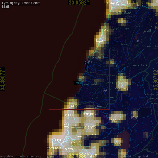
» NASA, Earths city lights 1995
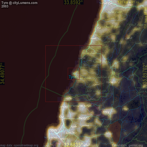
» NASA city lights 2003
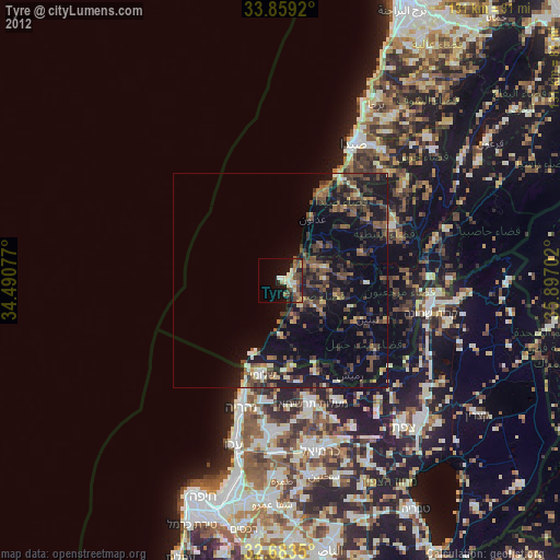
» Earth at Night: Flat Maps 2012, 2016