Baalbek night lights from space
Night Light of Baalbek (Baalbek-Hermel) from space (Lebanon) Src. Average luminocity for 10x10km area is 32.993% and for 50x50km: 11.0874%.
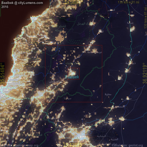
Analysis of Baalbek night lights 2016
Square area 10x10 km:
 1.22%
1.22%90-99
4.37%80-89
12.59%70-79
3.15%60-69
3.67%50-59
2.97%40-49
5.77%30-39
3.85%20-29
5.77%10-19
30.59%0-9
26.05%Square area 50x50 km:
0.11%90-99
0.54%80-89
2.46%70-79
0.96%60-69
1.65%50-59
1.69%40-49
3.18%30-39
2.99%20-29
3.5%10-19
9.02%0-9
73.9%Clear (daylight) street map image can be seen on geolist.org.
Map coordinates:
34° 35' 12.1" North, 35° 30' 53.8" East
34° 0' 21" North, 36° 13' 5" East
33° 25' 15.5" North, 36° 55' 16.3" East
Some cities around Baalbek sort by population:
• Zahlé
34.1 km =21.2 mi,  238°
238°
• At Tall, SY
44.8 km =27.8 mi,  168°
168°
• An Nabk, SY
47.1 km =29.3 mi,  87°
87°
• Yabrūd, SY
40.7 km =25.3 mi,  95°
95°
• Az Zabadānī, SY
33.1 km =20.6 mi,  199°
199°
• Qārah, SY
51.1 km =31.8 mi,  70°
70°
• Bcharré
33.3 km =20.7 mi,  324°
324°
• Al Quţayfah, SY
46.2 km =28.7 mi,  130°
130°
277130 (p: 30,916)
Sources (retrieved 2019-11-25):
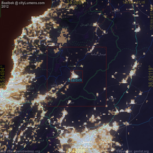
» Earth at Night: Flat Maps 2012, 2016