At Tall night lights from space
Night Light of At Tall (Rif-dimashq) from space (Syria) Src. Average luminocity for 10x10km area is 23.2967% and for 50x50km: 22.4277%.
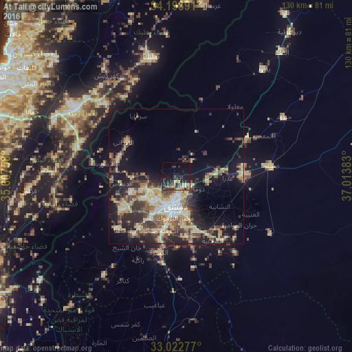
Analysis of At Tall night lights 2016
Square area 10x10 km:
 0%
0%90-99
0.37%80-89
7.51%70-79
2.2%60-69
2.01%50-59
2.38%40-49
4.95%30-39
5.86%20-29
12.27%10-19
24.18%0-9
38.28%Square area 50x50 km:
1.29%90-99
1.78%80-89
7.15%70-79
3.12%60-69
2.14%50-59
3.17%40-49
4.58%30-39
4.63%20-29
6.51%10-19
12.81%0-9
52.83%Clear (daylight) street map image can be seen on geolist.org.
Map coordinates:
34° 11' 38.1" North, 35° 36' 27.3" East
33° 36' 37.2" North, 36° 18' 38.5" East
33° 1' 22" North, 37° 0' 49.8" East
Some cities around At Tall sort by population:
• Damascus
11.3 km =7 mi,  189°
189°
• Douma
9.5 km =5.9 mi,  116°
116°
• Dārayyā
18.4 km =11.4 mi,  203°
203°
• ‘Irbīn
9.6 km =6 mi,  147°
147°
• Ḩarastā
7.6 km =4.7 mi,  138°
138°
• Az Zabadānī
23.3 km =14.5 mi,  303°
303°
• Al Kiswah
28.8 km =17.9 mi, 192°
• Dayr al ‘Aşāfīr
19 km =11.8 mi, 147°
172349 (p: 55,561)
Sources (retrieved 2019-11-25):
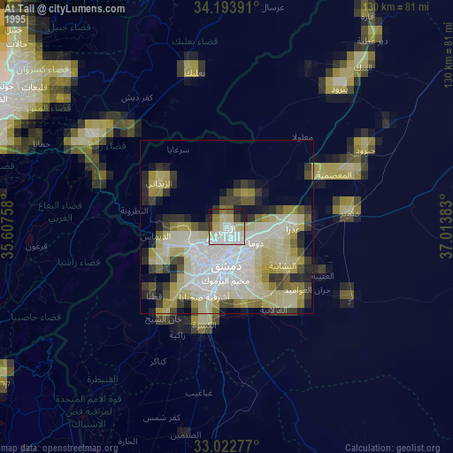
» NASA, Earths city lights 1995
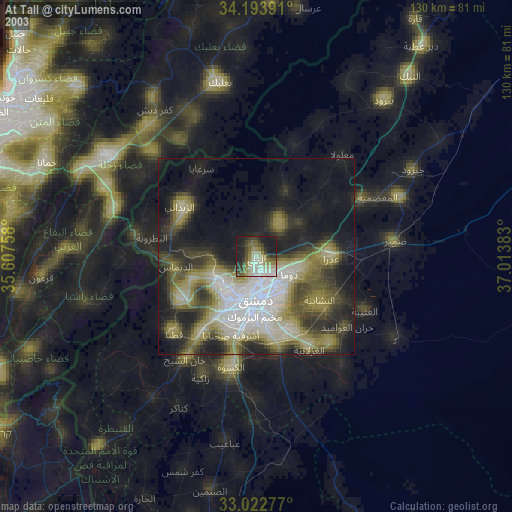
» NASA city lights 2003
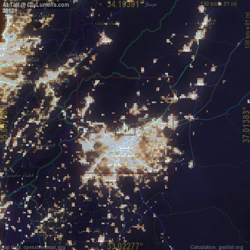
» Earth at Night: Flat Maps 2012, 2016