Az Zabadānī night lights from space
Night Light of Az Zabadānī (Rif-dimashq) from space (Syria) Src. Average luminocity for 10x10km area is 16.3425% and for 50x50km: 24.3384%.
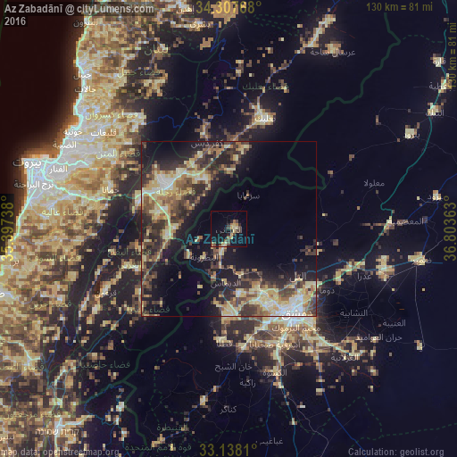
Analysis of Az Zabadānī night lights 2016
Square area 10x10 km:
 0%
0%90-99
0%80-89
5.31%70-79
1.28%60-69
2.2%50-59
2.2%40-49
3.66%30-39
4.03%20-29
2.93%10-19
14.65%0-9
63.74%Square area 50x50 km:
1.5%90-99
2.36%80-89
6.79%70-79
3.11%60-69
2.63%50-59
3.68%40-49
5.43%30-39
5.34%20-29
7.48%10-19
13.16%0-9
48.53%Clear (daylight) street map image can be seen on geolist.org.
Map coordinates:
34° 18' 27.6" North, 35° 23' 50.6" East
33° 43' 29.6" North, 36° 6' 1.8" East
33° 8' 17.2" North, 36° 48' 13.1" East
Some cities around Az Zabadānī sort by population:
• Damascus
29.7 km =18.5 mi,  143°
143°
• Douma
32.7 km =20.3 mi,  121°
121°
• Zahlé, LB
22.8 km =14.2 mi,  306°
306°
• Dārayyā
32.1 km =19.9 mi,  157°
157°
• At Tall
23.3 km =14.5 mi, 123°
• ‘Irbīn
32.3 km =20.1 mi,  130°
130°
• Ḩarastā
30.7 km =19.1 mi, 127°
• Qaţanā
32 km =19.9 mi,  183°
183°
172059 (p: 29,549)
Sources (retrieved 2019-11-25):
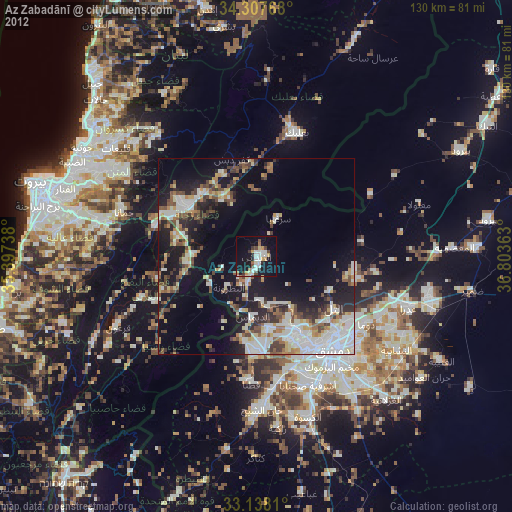
» Earth at Night: Flat Maps 2012, 2016