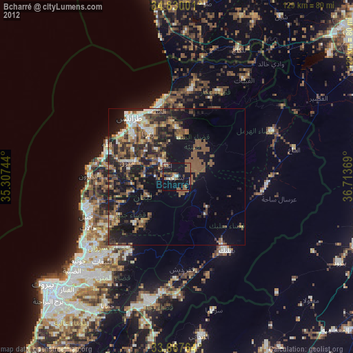
Bcharré night lights from space
Night Light of Bcharré (Liban-Nord) from space (Lebanon) Src. Average luminocity for 10x10km area is 33.7766% and for 50x50km: 27.405%.
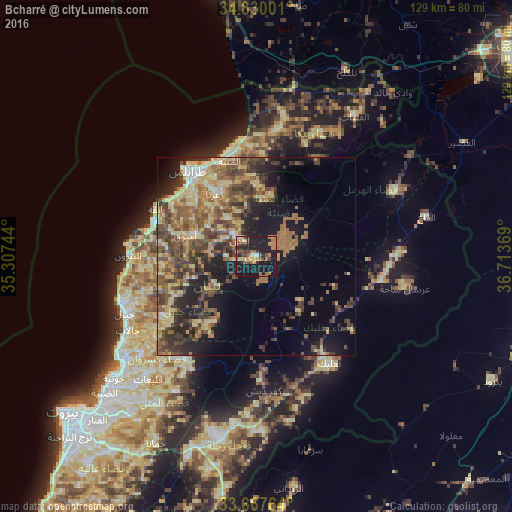
Analysis of Bcharré night lights 2016
Square area 10x10 km:
 0.92%
0.92%90-99
1.83%80-89
5.13%70-79
5.86%60-69
9.16%50-59
4.4%40-49
6.23%30-39
5.31%20-29
8.61%10-19
49.27%0-9
3.3%Square area 50x50 km:
0.81%90-99
1.73%80-89
6.82%70-79
3.89%60-69
5.18%50-59
6.66%40-49
7%30-39
5.53%20-29
6.57%10-19
12.53%0-9
43.29%Clear (daylight) street map image can be seen on geolist.org.
Map coordinates:
34° 49' 48" North, 35° 18' 26.8" East
34° 15' 3" North, 36° 0' 38" East
33° 40' 3.5" North, 36° 42' 49.3" East
Some cities around Bcharré sort by population:
• Tripoli
25.4 km =15.8 mi,  323°
323°
• Jounieh
47 km =29.2 mi,  230°
230°
• Zahlé
46 km =28.6 mi,  192°
192°
• Baalbek
33.3 km =20.7 mi,  144°
144°
• Tallkalakh, SY
51.8 km =32.2 mi,  26°
26°
• Jbaïl
36.3 km =22.6 mi,  246°
246°
• Batroûn
32.4 km =20.1 mi,  270°
270°
• Halba
33.1 km =20.6 mi,  11°
11°
276359 (p: 20,000)
Sources (retrieved 2019-11-25):
» Earth at Night: Flat Maps 2012, 2016