Zholymbet night lights from space
Night Light of Zholymbet (Aqmola) from space (Kazakhstan) Src. Average luminocity for 10x10km area is 0.2941% and for 50x50km: 0.0113%.
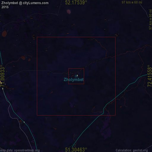
Analysis of Zholymbet night lights 2016
Square area 10x10 km:
 0%
0%90-99
0%80-89
0%70-79
0%60-69
0%50-59
0.56%40-49
0%30-39
0%20-29
0%10-19
0%0-9
99.44%Square area 50x50 km:
0%90-99
0%80-89
0%70-79
0%60-69
0%50-59
0.02%40-49
0%30-39
0%20-29
0%10-19
0%0-9
99.98%Clear (daylight) street map image can be seen on geolist.org.
Map coordinates:
52° 10' 31.4" North, 71° 0' 33.6" East
51° 44' 31.6" North, 71° 42' 44.8" East
51° 18' 16.7" North, 72° 24' 56.1" East
Some cities around Zholymbet sort by population:
• Nur-Sultan
65.2 km =40.5 mi,  196°
196°
• Stepnogorsk
68.6 km =42.6 mi,  9°
9°
• Makinsk
132.6 km =82.4 mi,  318°
318°
• Yermentau
96.7 km =60.1 mi,  97°
97°
• Aksu
79.8 km =49.6 mi, 12°
• Bestobe
126.4 km =78.5 mi,  48°
48°
• Shortandy
49.7 km =30.9 mi,  264°
264°
• Zavodskoy
83.6 km =51.9 mi, 14°
1516527 (p: 6,876)
Sources (retrieved 2019-11-25):
» Earth at Night: Flat Maps 2012, 2016