Bestobe night lights from space
Night Light of Bestobe (Aqmola) from space (Kazakhstan) Src. Average luminocity for 10x10km area is 0.2183% and for 50x50km: 0.0087%.
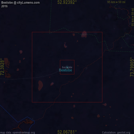
Analysis of Bestobe night lights 2016
Square area 10x10 km:
 0%
0%90-99
0%80-89
0%70-79
0%60-69
0%50-59
0%40-49
0%30-39
0%20-29
0.53%10-19
0.4%0-9
99.07%Square area 50x50 km:
0%90-99
0%80-89
0%70-79
0%60-69
0%50-59
0%40-49
0%30-39
0%20-29
0.02%10-19
0.02%0-9
99.96%Clear (daylight) street map image can be seen on geolist.org.
Map coordinates:
52° 55' 26.1" North, 72° 23' 34.1" East
52° 29' 52.6" North, 73° 5' 45.3" East
52° 4' 4.1" North, 73° 47' 56.6" East
Some cities around Bestobe sort by population:
• Stepnogorsk
83.9 km =52.1 mi,  258°
258°
• Yermentau
97.2 km =60.4 mi,  179°
179°
• Aksu
77.3 km =48 mi,  265°
265°
• Shortandy
168.8 km =104.9 mi,  238°
238°
• Zholymbet
126.4 km =78.5 mi,  228°
228°
• Kzyltu
136.2 km =84.6 mi,  338°
338°
• Russkaya Polyana, RU
151.8 km =94.3 mi,  20°
20°
• Zavodskoy
73.2 km =45.5 mi, 267°
1525376 (p: 7,189)
Sources (retrieved 2019-11-25):
» Earth at Night: Flat Maps 2012, 2016