Makinsk night lights from space
Night Light of Makinsk (Aqmola) from space (Kazakhstan) Src. Average luminocity for 10x10km area is 1.0013% and for 50x50km: 0.0918%.
Analysis of Makinsk night lights 2016
Square area 10x10 km:
 0%
0%90-99
0%80-89
0%70-79
0%60-69
0%50-59
0.53%40-49
0.53%30-39
0.53%20-29
0.26%10-19
0.79%0-9
97.35%Square area 50x50 km:
0%90-99
0%80-89
0%70-79
0%60-69
0%50-59
0.04%40-49
0.05%30-39
0.04%20-29
0.05%10-19
0.09%0-9
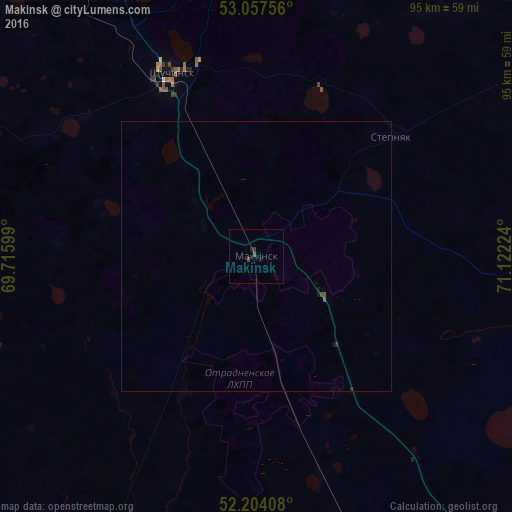
99.74%Clear (daylight) street map image can be seen on geolist.org.
Map coordinates:
53° 3' 27.2" North, 69° 42' 57.6" East
52° 37' 58.4" North, 70° 25' 8.8" East
52° 12' 14.7" North, 71° 7' 20.1" East
Some cities around Makinsk sort by population:
• Kokshetau
99.4 km =61.8 mi,  316°
316°
• Shchuchinsk
37.1 km =23.1 mi,  335°
335°
• Stepnogorsk
103.9 km =64.6 mi,  107°
107°
• Akkol’
91.9 km =57.1 mi, 323°
• Aksu
106.1 km =65.9 mi,  101°
101°
• Shortandy
111 km =69 mi,  159°
159°
• Būrabay
50.6 km =31.4 mi,  351°
351°
• Zavodskoy
109.4 km =68 mi, 99°
1521230 (p: 17,711)
Sources (retrieved 2019-11-25):
» Earth at Night: Flat Maps 2012, 2016