Zavodskoy night lights from space
Night Light of Zavodskoy (Aqmola) from space (Kazakhstan) Src. Average luminocity for 10x10km area is 8.3068% and for 50x50km: 0.645%.
Analysis of Zavodskoy night lights 2016
Square area 10x10 km:
 0.51%
0.51%90-99
0.76%80-89
0.51%70-79
1.39%60-69
1.64%50-59
2.65%40-49
3.66%30-39
0.25%20-29
0%10-19
0%0-9
88.64%Square area 50x50 km:
0.04%90-99
0.08%80-89
0.07%70-79
0.12%60-69
0.11%50-59
0.13%40-49
0.2%30-39
0.02%20-29
0.02%10-19
0%0-9
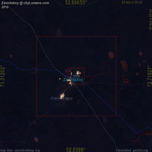
99.21%Clear (daylight) street map image can be seen on geolist.org.
Map coordinates:
52° 53' 47.6" North, 71° 18' 43.3" East
52° 28' 13.1" North, 72° 0' 54.5" East
52° 2' 23.6" North, 72° 43' 5.8" East
Some cities around Zavodskoy sort by population:
• Stepnogorsk
16.1 km =10 mi,  214°
214°
• Makinsk
109.4 km =68 mi,  279°
279°
• Yermentau
120 km =74.6 mi,  141°
141°
• Aksu
4.9 km =3 mi,  233°
233°
• Bestobe
73.2 km =45.5 mi,  87°
87°
• Shortandy
110.5 km =68.7 mi,  219°
219°
• Zholymbet
83.6 km =51.9 mi,  194°
194°
• Kzyltu
131.4 km =81.6 mi,  9°
9°
1537947 (p: 6,043)
Sources (retrieved 2019-11-25):
» Earth at Night: Flat Maps 2012, 2016