Shortandy night lights from space
Night Light of Shortandy (Aqmola) from space (Kazakhstan) Src. Average luminocity for 10x10km area is 1.4972% and for 50x50km: 0.0637%.
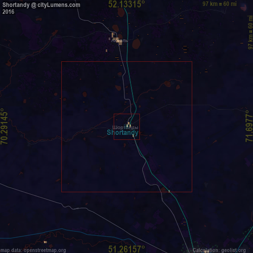
Analysis of Shortandy night lights 2016
Square area 10x10 km:
 0%
0%90-99
0%80-89
0%70-79
0%60-69
0.7%50-59
0.98%40-49
0.56%30-39
0%20-29
0%10-19
0%0-9
97.76%Square area 50x50 km:
0%90-99
0%80-89
0%70-79
0%60-69
0.03%50-59
0.04%40-49
0.02%30-39
0.01%20-29
0%10-19
0%0-9
99.9%Clear (daylight) street map image can be seen on geolist.org.
Map coordinates:
52° 7' 59.3" North, 70° 17' 29.2" East
51° 41' 58.1" North, 70° 59' 40.5" East
51° 15' 41.7" North, 71° 41' 51.7" East
Some cities around Shortandy sort by population:
• Nur-Sultan
65.7 km =40.8 mi,  151°
151°
• Stepnogorsk
94.5 km =58.7 mi,  39°
39°
• Makinsk
111 km =69 mi,  339°
339°
• Yermentau
145.6 km =90.5 mi,  93°
93°
• Aksu
105.8 km =65.7 mi, 38°
• Zholymbet
49.7 km =30.9 mi,  84°
84°
• Astrakhan
84.8 km =52.7 mi,  257°
257°
• Zavodskoy
110.5 km =68.7 mi, 39°
1519050 (p: 6,980)
Sources (retrieved 2019-11-25):
» Earth at Night: Flat Maps 2012, 2016