Stepnogorsk night lights from space
Night Light of Stepnogorsk (Aqmola) from space (Kazakhstan) Src. Average luminocity for 10x10km area is 5.8194% and for 50x50km: 0.6523%.
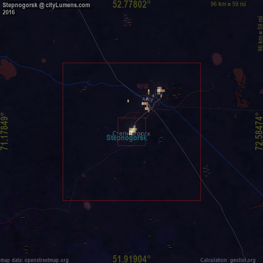
Analysis of Stepnogorsk night lights 2016
Square area 10x10 km:
 0.38%
0.38%90-99
0.88%80-89
1.26%70-79
1.01%60-69
1.01%50-59
0.51%40-49
1.01%30-39
0%20-29
0.51%10-19
0%0-9
93.43%Square area 50x50 km:
0.04%90-99
0.08%80-89
0.07%70-79
0.12%60-69
0.11%50-59
0.13%40-49
0.21%30-39
0.02%20-29
0.02%10-19
0%0-9
99.2%Clear (daylight) street map image can be seen on geolist.org.
Map coordinates:
52° 46' 40.9" North, 71° 10' 42.6" East
52° 21' 2.2" North, 71° 52' 53.8" East
51° 55' 8.5" North, 72° 35' 5.1" East
Some cities around Stepnogorsk sort by population:
• Shchuchinsk
131.4 km =81.6 mi,  299°
299°
• Makinsk
103.9 km =64.6 mi,  287°
287°
• Yermentau
116.3 km =72.3 mi,  134°
134°
• Aksu
11.6 km =7.2 mi,  26°
26°
• Bestobe
83.9 km =52.1 mi,  78°
78°
• Shortandy
94.5 km =58.7 mi,  219°
219°
• Zholymbet
68.6 km =42.6 mi,  189°
189°
• Zavodskoy
16.1 km =10 mi, 34°
1537939 (p: 46,736)
Sources (retrieved 2019-11-25):
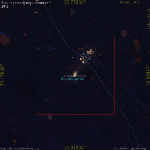
» Earth at Night: Flat Maps 2012, 2016