Yermentau night lights from space
Night Light of Yermentau (Aqmola) from space (Kazakhstan) Src. Average luminocity for 10x10km area is 3.1845% and for 50x50km: 0.1355%.
Analysis of Yermentau night lights 2016
Square area 10x10 km:
 0%
0%90-99
0%80-89
0.8%70-79
0.94%60-69
0.94%50-59
0.53%40-49
1.07%30-39
0%20-29
0%10-19
0%0-9
95.72%Square area 50x50 km:
0%90-99
0%80-89
0.03%70-79
0.04%60-69
0.04%50-59
0.02%40-49
0.04%30-39
0%20-29
0.02%10-19
0%0-9
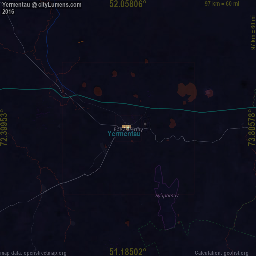
99.81%Clear (daylight) street map image can be seen on geolist.org.
Map coordinates:
52° 3' 29" North, 72° 23' 58.3" East
51° 37' 25.1" North, 73° 6' 9.5" East
51° 11' 6.1" North, 73° 48' 20.8" East
Some cities around Yermentau sort by population:
• Nur-Sultan
125 km =77.7 mi,  246°
246°
• Stepnogorsk
116.3 km =72.3 mi,  314°
314°
• Aksu
120.2 km =74.7 mi,  319°
319°
• Osakarovka
123.7 km =76.9 mi,  197°
197°
• Bestobe
97.2 km =60.4 mi,  359°
359°
• Shortandy
145.6 km =90.5 mi,  273°
273°
• Zholymbet
96.7 km =60.1 mi,  277°
277°
• Zavodskoy
120 km =74.6 mi, 321°
1524302 (p: 14,169)
Sources (retrieved 2019-11-25):
» Earth at Night: Flat Maps 2012, 2016