Kzyltu night lights from space
Night Light of Kzyltu (Soltüstik Qazaqstan) from space (Kazakhstan) Src. Average luminocity for 10x10km area is 1.6654% and for 50x50km: 0.0671%.
Analysis of Kzyltu night lights 2016
Square area 10x10 km:
 0%
0%90-99
0%80-89
0%70-79
0%60-69
0.51%50-59
1.01%40-49
0.51%30-39
0.63%20-29
0.38%10-19
0.51%0-9
96.46%Square area 50x50 km:
0%90-99
0%80-89
0%70-79
0%60-69
0.02%50-59
0.04%40-49
0.02%30-39
0.03%20-29
0.02%10-19
0.02%0-9
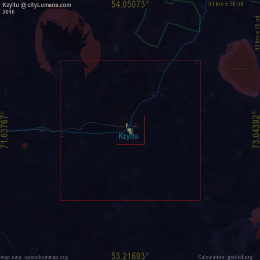
99.86%Clear (daylight) street map image can be seen on geolist.org.
Map coordinates:
54° 3' 2.6" North, 71° 38' 15.6" East
53° 38' 9.2" North, 72° 20' 26.8" East
53° 13' 0.9" North, 73° 2' 38.1" East
Some cities around Kzyltu sort by population:
• Aksu
135 km =83.9 mi,  190°
190°
• Sherbakul’, RU
110.8 km =68.8 mi,  1°
1°
• Poltavka, RU
89.6 km =55.7 mi,  335°
335°
• Russkaya Polyana, RU
102.6 km =63.8 mi,  81°
81°
• Pavlogradka, RU
101.7 km =63.2 mi,  51°
51°
• Zavodskoy
131.4 km =81.6 mi, 189°
• Odesskoye, RU
76.3 km =47.4 mi,  32°
32°
• Azovo, RU
126.4 km =78.5 mi,  20°
20°
1521401 (p: 6,779)
Sources (retrieved 2019-11-25):
» Earth at Night: Flat Maps 2012, 2016