Xaçmaz night lights from space
Night Light of Xaçmaz from space (Azerbaijan) Src. Average luminocity for 10x10km area is 11.5306% and for 50x50km: 0.9695%.
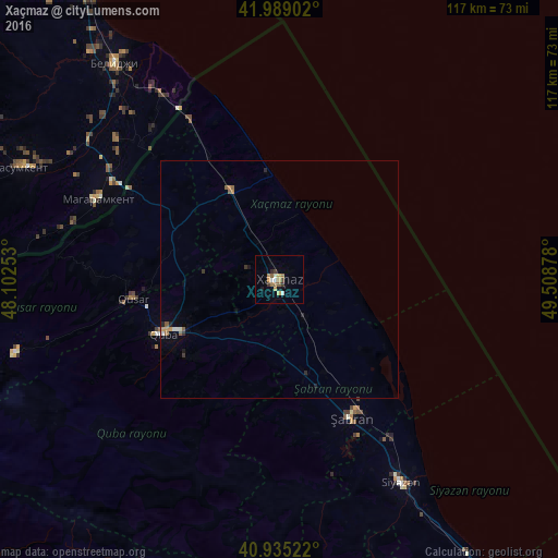
Analysis of Xaçmaz night lights 2016
Square area 10x10 km:
 0.68%
0.68%90-99
2.04%80-89
0.85%70-79
2.55%60-69
2.04%50-59
2.04%40-49
0.68%30-39
2.04%20-29
0.85%10-19
1.19%0-9
85.03%Square area 50x50 km:
0.06%90-99
0.16%80-89
0.03%70-79
0.16%60-69
0.16%50-59
0.26%40-49
0.03%30-39
0.18%20-29
0.19%10-19
0.11%0-9
98.66%Clear (daylight) street map image can be seen on geolist.org.
Map coordinates:
41° 59' 20.5" North, 48° 6' 9.1" East
41° 27' 51.3" North, 48° 48' 20.3" East
40° 56' 6.8" North, 49° 30' 31.6" East
Some cities around Xaçmaz sort by population:
• Divichibazar
32.9 km =20.4 mi,  152°
152°
• Quba
26.9 km =16.7 mi,  244°
244°
• Belidzhi, RU
57.7 km =35.9 mi,  325°
325°
• Qusar
31.6 km =19.6 mi,  262°
262°
• Xudat
21.2 km =13.2 mi, 330°
• Kasumkent, RU
59.8 km =37.2 mi,  293°
293°
• Magaramkent, RU
41.7 km =25.9 mi, 293°
• Kyzyl-Burun
50.1 km =31.1 mi, 148°
584717 (p: 37,175)
Sources (retrieved 2019-11-25):
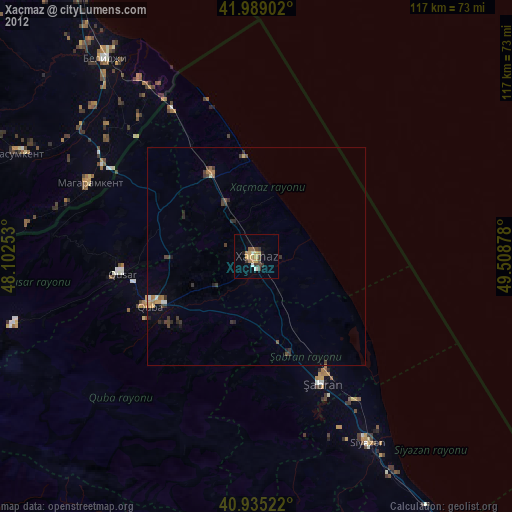
» Earth at Night: Flat Maps 2012, 2016