Miyaly night lights from space
Night Light of Miyaly (Atyraū) from space (Kazakhstan) Src. Average luminocity for 10x10km area is 0.6506% and for 50x50km: 0.0259%.
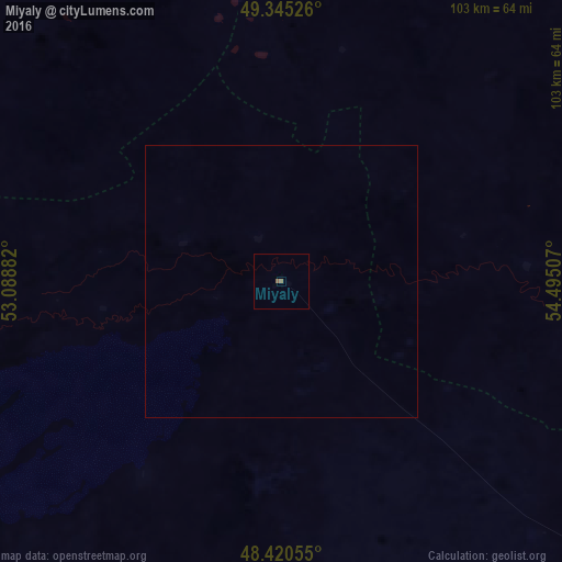
Analysis of Miyaly night lights 2016
Square area 10x10 km:
 0%
0%90-99
0%80-89
0%70-79
0%60-69
0%50-59
1.14%40-49
0%30-39
0%20-29
0%10-19
0%0-9
98.86%Square area 50x50 km:
0%90-99
0%80-89
0%70-79
0%60-69
0%50-59
0.05%40-49
0%30-39
0%20-29
0%10-19
0%0-9
99.95%Clear (daylight) street map image can be seen on geolist.org.
Map coordinates:
49° 20' 42.9" North, 53° 5' 19.8" East
48° 53' 6.1" North, 53° 47' 31" East
48° 25' 14" North, 54° 29' 42.3" East
Some cities around Miyaly sort by population:
• Qulsary
215.5 km =133.9 mi,  175°
175°
• Maqat
141.8 km =88.1 mi,  194°
194°
• Inderbor
152 km =94.4 mi,  255°
255°
• Shubarkuduk
198.3 km =123.2 mi,  81°
81°
• Dossor
162.5 km =101 mi,  201°
201°
• Makhambet
212.3 km =131.9 mi,  230°
230°
• Bayganin
154.1 km =95.8 mi,  98°
98°
• Dzhambeyty
175.1 km =108.8 mi,  330°
330°
608816 (p: 6,213)
Sources (retrieved 2019-11-25):
» Earth at Night: Flat Maps 2012, 2016