Martuk night lights from space
Night Light of Martuk (Aqtöbe) from space (Kazakhstan) Src. Average luminocity for 10x10km area is 1.0187% and for 50x50km: 0.0507%.
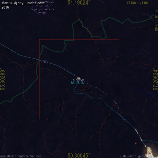
Analysis of Martuk night lights 2016
Square area 10x10 km:
 0%
0%90-99
0%80-89
0%70-79
0%60-69
0.67%50-59
0.4%40-49
0%30-39
0.53%20-29
0%10-19
0%0-9
98.4%Square area 50x50 km:
0%90-99
0%80-89
0%70-79
0%60-69
0.03%50-59
0.02%40-49
0%30-39
0.02%20-29
0.02%10-19
0.03%0-9
99.89%Clear (daylight) street map image can be seen on geolist.org.
Map coordinates:
51° 11' 24.9" North, 55° 48' 10.8" East
50° 44' 50.9" North, 56° 30' 22" East
50° 18' 1.6" North, 57° 12' 33.3" East
Some cities around Martuk sort by population:
• Aktobe
71.8 km =44.6 mi,  136°
136°
• Novotroitsk, RU
137.1 km =85.2 mi,  68°
68°
• Mednogorsk, RU
106.1 km =65.9 mi,  45°
45°
• Kuvandyk, RU
100.6 km =62.5 mi,  36°
36°
• Sol’-Iletsk, RU
115.7 km =71.9 mi,  293°
293°
• Saraktash, RU
116.1 km =72.1 mi,  355°
355°
• Batamshinskiy
126.6 km =78.7 mi,  99°
99°
• Belyayevka, RU
72.5 km =45 mi, 355°
608867 (p: 7,756)
Sources (retrieved 2019-11-25):
» Earth at Night: Flat Maps 2012, 2016