Astrakhan night lights from space
Night Light of Astrakhan (Aqmola) from space (Kazakhstan) Src. Average luminocity for 10x10km area is 1.5949% and for 50x50km: 0.0689%.
Analysis of Astrakhan night lights 2016
Square area 10x10 km:
 0%
0%90-99
0%80-89
0%70-79
1.6%60-69
0%50-59
0%40-49
0.53%30-39
0%20-29
0%10-19
0%0-9
97.86%Square area 50x50 km:
0%90-99
0%80-89
0%70-79
0.06%60-69
0%50-59
0%40-49
0.02%30-39
0%20-29
0.02%10-19
0%0-9
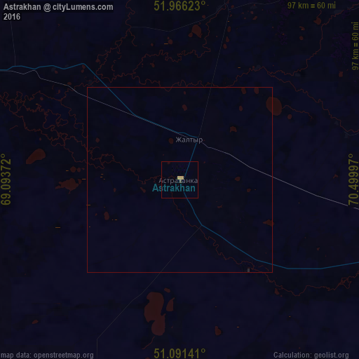
99.89%Clear (daylight) street map image can be seen on geolist.org.
Map coordinates:
51° 57' 58.4" North, 69° 5' 37.4" East
51° 31' 51.3" North, 69° 47' 48.6" East
51° 5' 29.1" North, 70° 29' 59.9" East
Some cities around Astrakhan sort by population:
• Nur-Sultan
121 km =75.2 mi,  108°
108°
• Shchuchinsk
158.5 km =98.5 mi,  9°
9°
• Atbasar
103.7 km =64.4 mi,  287°
287°
• Makinsk
129.7 km =80.6 mi,  19°
19°
• Shortandy
84.8 km =52.7 mi,  77°
77°
• Zholymbet
134.3 km =83.5 mi, 79°
• Balkashino
131 km =81.4 mi,  326°
326°
• Shantobe
151.2 km =94 mi,  312°
312°
1526059 (p: 6,459)
Sources (retrieved 2019-11-25):
» Earth at Night: Flat Maps 2012, 2016