Rudnyy night lights from space
Night Light of Rudnyy (Qostanay) from space (Kazakhstan) Src. Average luminocity for 10x10km area is 30.5265% and for 50x50km: 1.4906%.
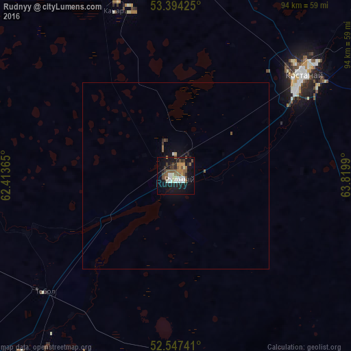
Analysis of Rudnyy night lights 2016
Square area 10x10 km:
 3.7%
3.7%90-99
6.08%80-89
1.32%70-79
3.31%60-69
2.78%50-59
9.92%40-49
4.5%30-39
2.12%20-29
5.69%10-19
32.14%0-9
28.44%Square area 50x50 km:
0.16%90-99
0.25%80-89
0.07%70-79
0.13%60-69
0.15%50-59
0.45%40-49
0.21%30-39
0.13%20-29
0.27%10-19
1.56%0-9
96.62%Clear (daylight) street map image can be seen on geolist.org.
Map coordinates:
53° 23' 39.3" North, 62° 24' 49.1" East
52° 58' 22.4" North, 63° 7' 0.4" East
52° 32' 50.7" North, 63° 49' 11.6" East
Some cities around Rudnyy sort by population:
• Kostanay
43.3 km =26.9 mi,  51°
51°
• Lisakovsk
63 km =39.1 mi,  221°
221°
• Qashar
46.9 km =29.1 mi,  339°
339°
• Komsomolets
111.4 km =69.2 mi,  320°
320°
• Borovskoy
115.4 km =71.7 mi,  37°
37°
• Fyodorovka
79.1 km =49.2 mi, 339°
• Qusmuryn
116.7 km =72.5 mi,  119°
119°
• Tobol
47 km =29.2 mi,  228°
228°
1519843 (p: 124,000)
Sources (retrieved 2019-11-25):
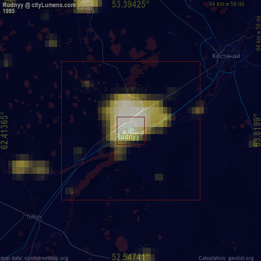
» NASA, Earths city lights 1995
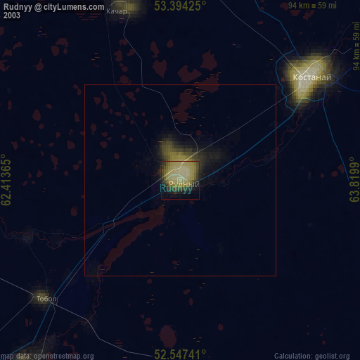
» NASA city lights 2003
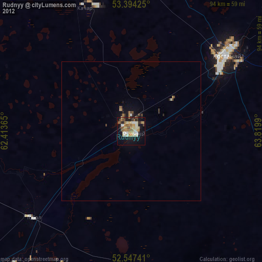
» Earth at Night: Flat Maps 2012, 2016