Tobol night lights from space
Night Light of Tobol (Qostanay) from space (Kazakhstan) Src. Average luminocity for 10x10km area is 1.2077% and for 50x50km: 0.38%.
Analysis of Tobol night lights 2016
Square area 10x10 km:
 0%
0%90-99
0.53%80-89
0%70-79
0%60-69
0%50-59
0%40-49
0.53%30-39
0%20-29
0.66%10-19
0.93%0-9
97.35%Square area 50x50 km:
0.02%90-99
0.12%80-89
0%70-79
0.02%60-69
0.05%50-59
0.1%40-49
0.06%30-39
0.04%20-29
0.15%10-19
0.06%0-9
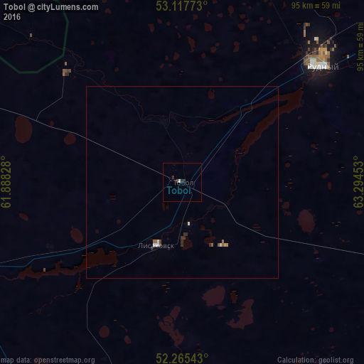
99.38%Clear (daylight) street map image can be seen on geolist.org.
Map coordinates:
53° 7' 3.8" North, 61° 53' 17.8" East
52° 41' 37.2" North, 62° 35' 29" East
52° 15' 55.5" North, 63° 17' 40.3" East
Some cities around Tobol sort by population:
• Kostanay
90.2 km =56 mi,  50°
50°
• Rudnyy
47 km =29.2 mi, 48°
• Dzhetygara
109.7 km =68.2 mi,  239°
239°
• Lisakovsk
17.4 km =10.8 mi,  200°
200°
• Qashar
77.2 km =48 mi,  13°
13°
• Varna, RU
132.4 km =82.3 mi,  305°
305°
• Komsomolets
122.7 km =76.2 mi,  343°
343°
• Fyodorovka
105.2 km =65.4 mi,  3°
3°
1518139 (p: 7,155)
Sources (retrieved 2019-11-25):
» Earth at Night: Flat Maps 2012, 2016